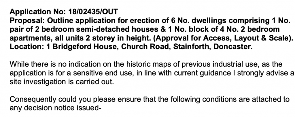
Erection of a Pair of Semi Detached Dwellings, Church Road, Stainforth, Doncaster, DN7
Case Study Reference: CS22-04-05
Planning Authority: Doncaster Metropolitan Borough Council
Planning Reference: 18/02435/OUT and 22/01354/COND
Synopsis:
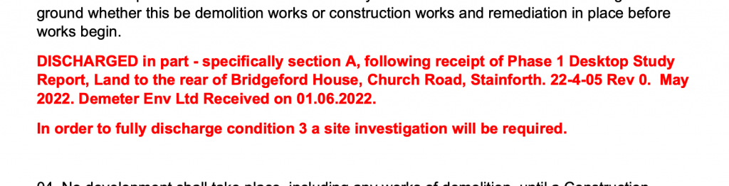
 As part of the application the contaminated land team were consulted on the application and the potential for the site to pose a risk to human health, whilst there was no indication of previous historical uses, given the sensitivity of the development a contaminated land planning condition was attached to the decision notice.
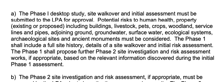
The first stage of discharging the contaminated land planning condition (3a) was to prepare a Phase I desk study report, this assesses the potential for a site to be impacted by using a wide range of sources including Ordnance Survey maps, information provided by regulators (Environment Agency, local authority, Coal Authority, BGS etc.).
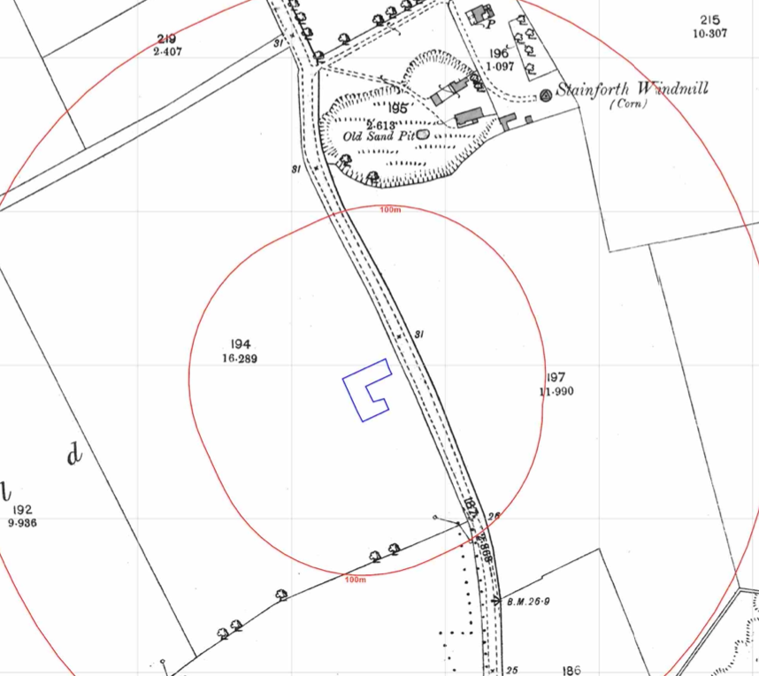 The history of the site and the surrounds was researched using a combination of historical O.S. maps, aerial plates and street level imagery. The first edition O.S map (1854) revealed the site formed part of a larger parcel of open land, however an old sand pit was noted to the north of the site.
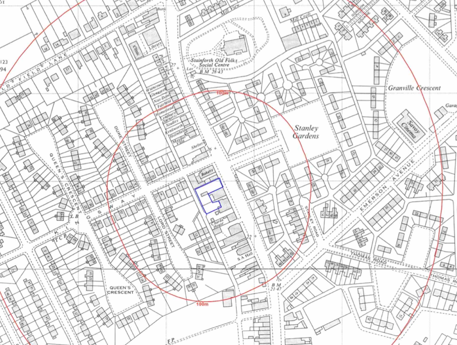
The site was developed prior to the 1962 map although it did not appear to have been developed, the area of the old sand pit was occupied by a social centre.
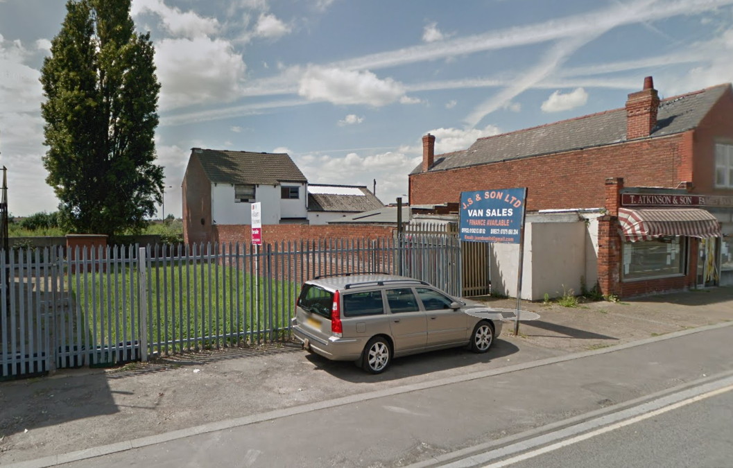
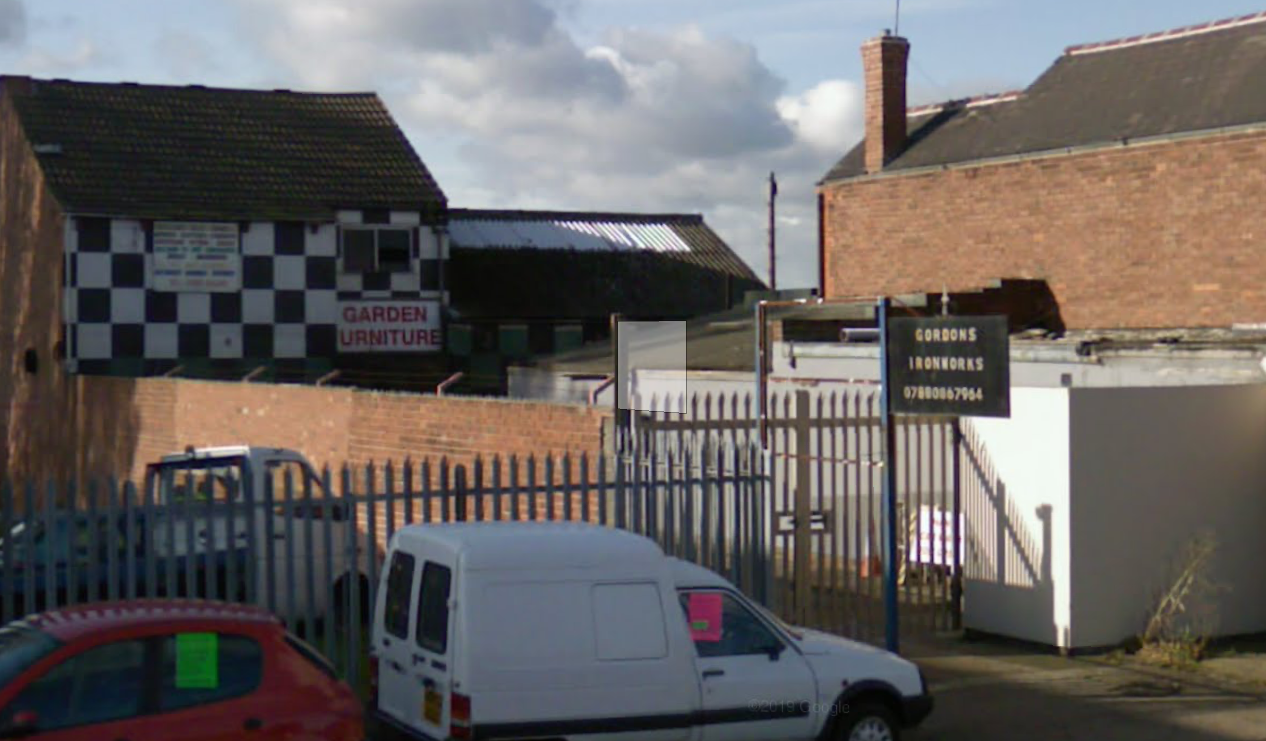
Street level imagery indicated the site had been used as an ironmonger and car sales.
A review of the planning history of the site did not reveal any salient information.
The recorded geology was given as River Terrace Deposits (Sands and gravels) underlain by Nottingham Castle Sandstone, no borehole records in the public domain were available through the British Geological Survey.
Data provided by regulators identified the old sand pit to the north of the site, which is not registered as a landfill with the Environment Agency. The data also identified an electricity substation just off the western boundary and DIY motors off the southern boundary.
 On co
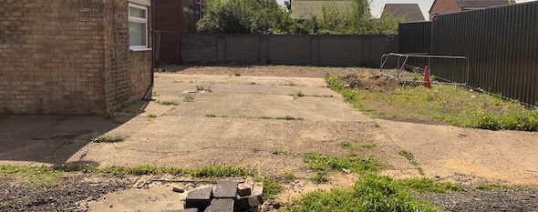
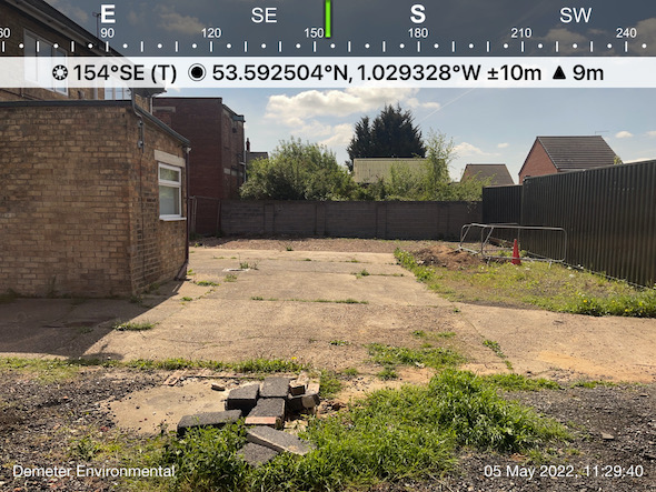
On co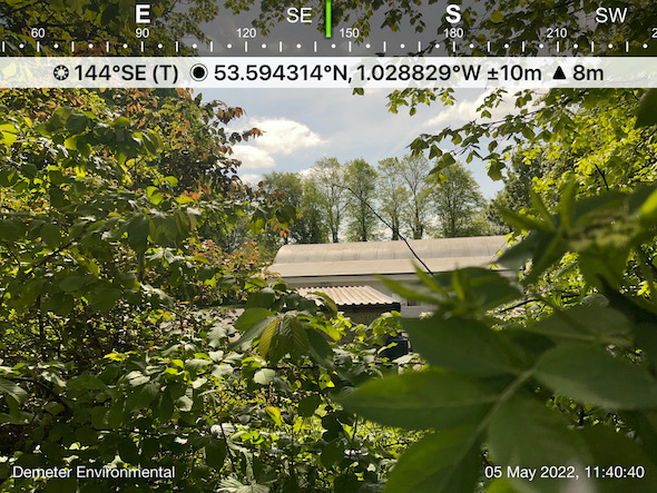 mpletion of the desk based assessment a site walkover visit was undertaken, this revealed the site to be an open gravelled parcel of land which formed part of the curtilage of the adjoining commercial buildings.
Two containers were present on the site and a trial it was also identified on the site which made ground to a depth of approximately 0.4mbgl was recorded.
The area of the old sand pit was inspected, this revealed the levels of the area within the old pit were lower than the surrounds, indicating that in-filling had not been undertaken.
On completion of the site visit a qualitative risk assessment was undertaken in order to determine which of the potential sources warranted further investigation, this concluded that the past land uses as well as the made ground on the site posed a potential risk and further works were proposed, remediation as an alternative to parts of the investigation were also proposed.
The Phase I report was submitted (22/01354/COND) in order to discharge the first part of the contaminated land planning condition, the proposals for the further works were accepted.