Change Of Use Of Agricultural Building To Dwellinghouse, Dale Road, Stanton, Suffolk
Case Study Reference: CS14-10-05
Planning Authority: West Suffolk
Planning Reference: West Suffolk and DC/15/0811/PMBPA
Synopsis:
In order to demonstrate that after the development the site could not be classified as ‘contaminated land’ under Part 2A of the Environmental Protection Act a Phase I desk study report was required to support the application for residential redevelopment f the site.
 A desk study determines what issues relating to historical contamination may affect the site, this is undertaken by reviewing the site history using a combination of O.S. maps, aerial, plates and street level imagery, a review of data held by regulatory bodies (Environment Agency, local authority, BGS etc.) as well as a site walkover survey.
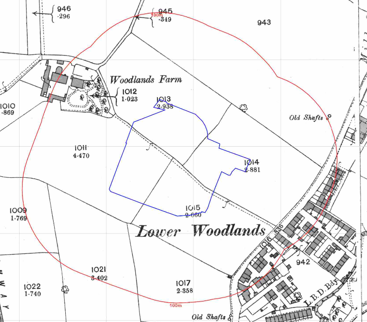
The history of the site and surrounds were researched using a combination of Ordnance 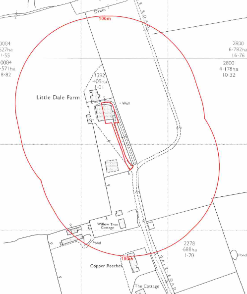 Survey (O.S.) maps, street level imagery and aerial plates, this revealed the site was developed prior to the first edition O.S. map when three buildings were noted. The site was redeveloped circa 1950 with later maps identified the site as Little Dale Farm.
A number of ponds were identified within 250m of the site, the closest being 10m south of the site.
Aerial plates indicated some demolition had occurred between 1999 and 2007.
The planning history of the site was reviewed as part of the desk based research and reports associated with any previous application were located and studied, no salient information was obtained.
The published geological maps identified the site as being underlain by head which in turn was underlain by the Lowestoft formation which in turn was underlain by chalk. The borehole section sheets published by the BGS were reviewed and no boreholes in close proximity to the site were available hence no further information on ground conditions could be obtained.
Data provided by regulatory bodies did nto provide any further salient information.
 On completion of the desk based research a site reconnaissance
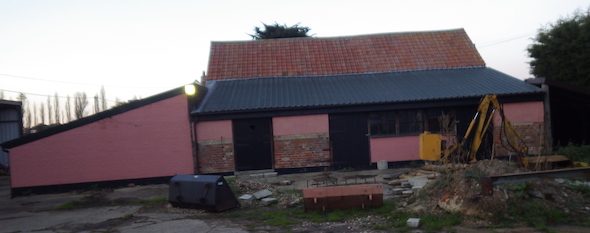
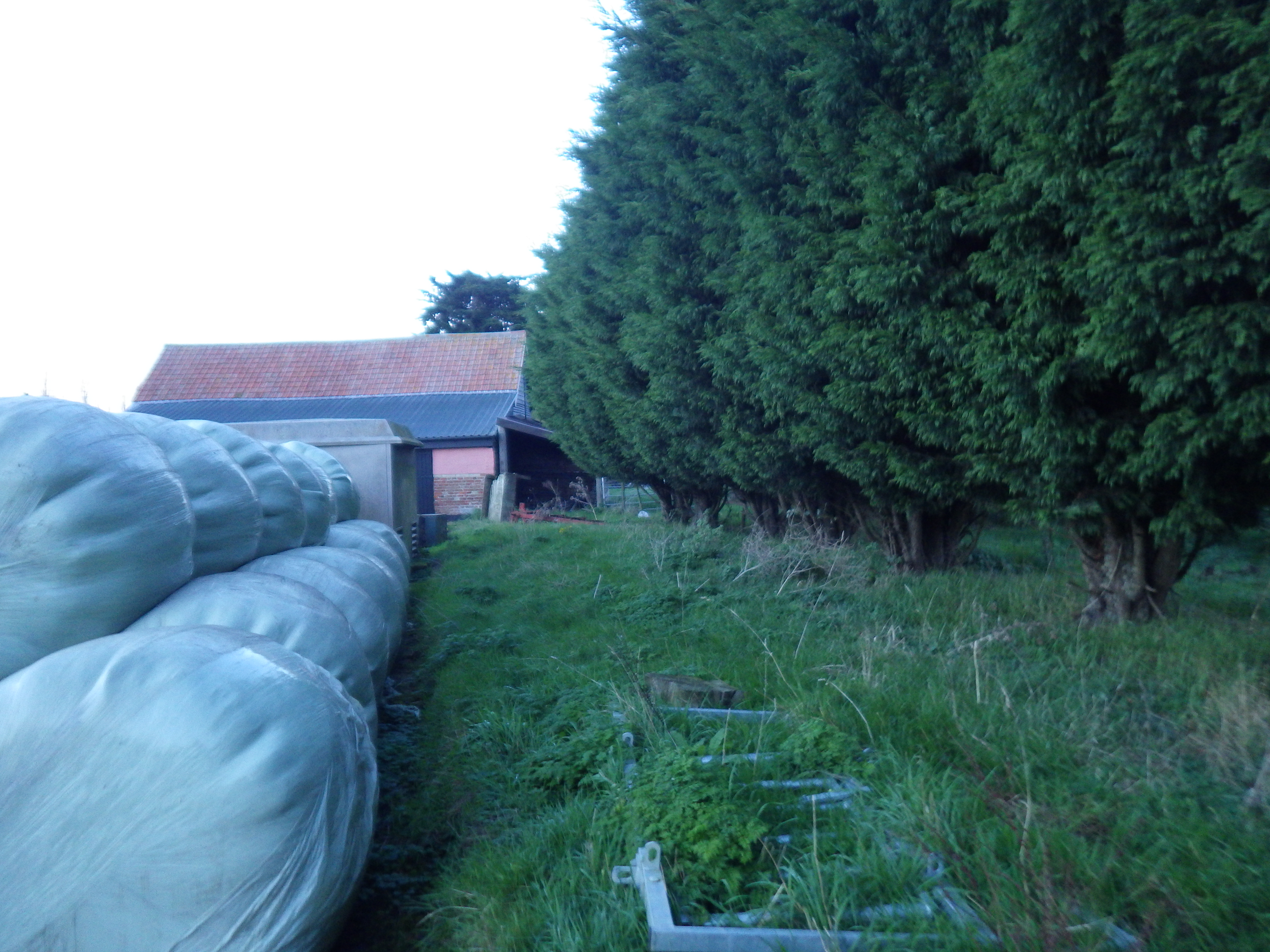
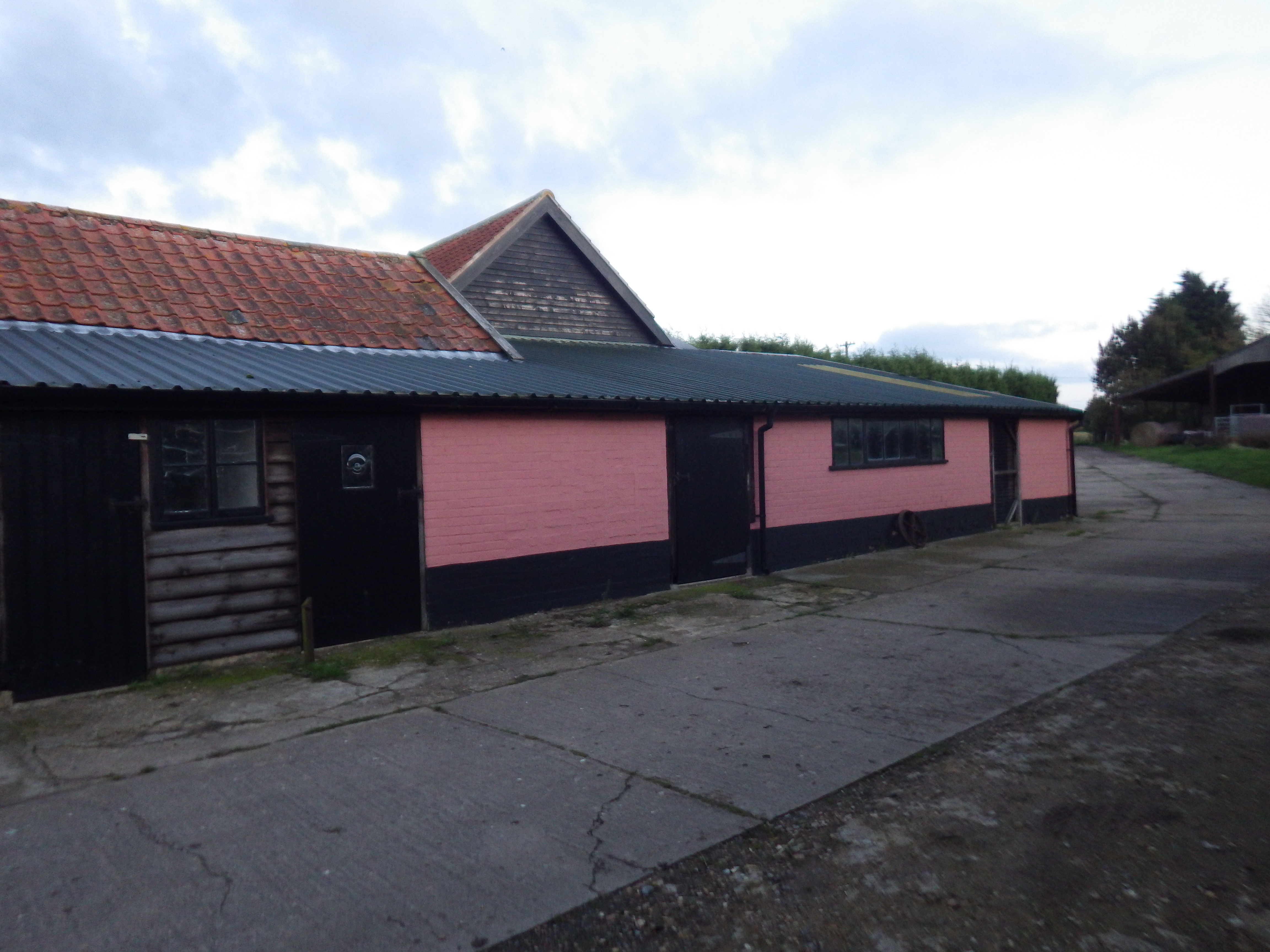 visit was undertaken in order to obtain further information on the potential sources identified in the desk based research and to identify any other potential sources. The walkover survey confirmed the site was occupied by a number of buildings that were being used for general storage at the time of the survey. During the walkover survey the client confirmed the buildings were previously a milking parlour and a granary.
The report was submitted to support the prior approval application, the recommendations of the report were accepted and the application approved.