Residential Development at Wisbech, Cambridgeshire
Case Study Reference: 12-05-03
Planning Authority: Fenland District Council
Planning Reference: F/YR08/0767/F and F/YR12/3042/COND
Synopsis:
Given the sensitive nature of the development (residential) and the history of the site a contaminated land planning condition was attached to the decision notice for the proposed development.
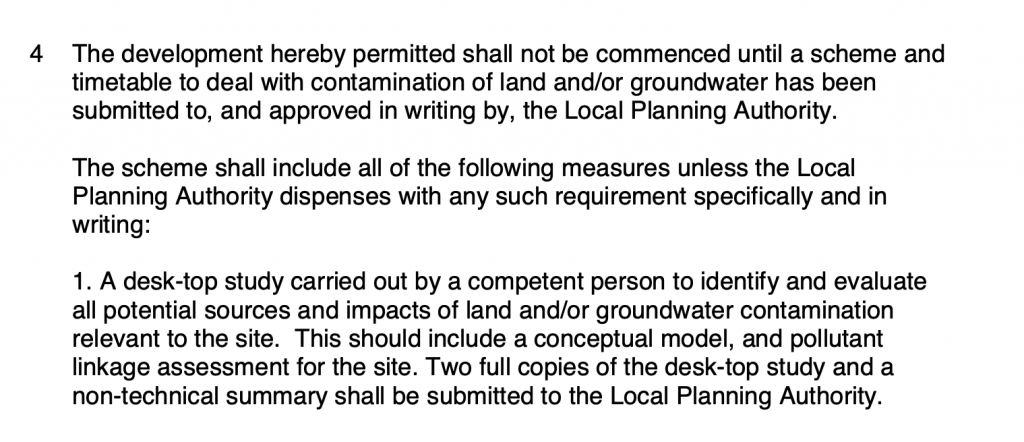
The first stage of discharging the condition was to prepare a Phase I desk study report in order to determine if the site has the potential to be impacted by elevated levels of contamination, and to determine the source as well as the likelihood of the risk occurring.
 A desk study determines what issues relating to historical contamination may affect the site, this is undertaken by reviewing the site history using a combination of O.S. maps, aerial, plates and street level imagery, a review of data held by regulatory bodies (Environment Agency, local authority, BGS etc.) as well as a site walkover survey.
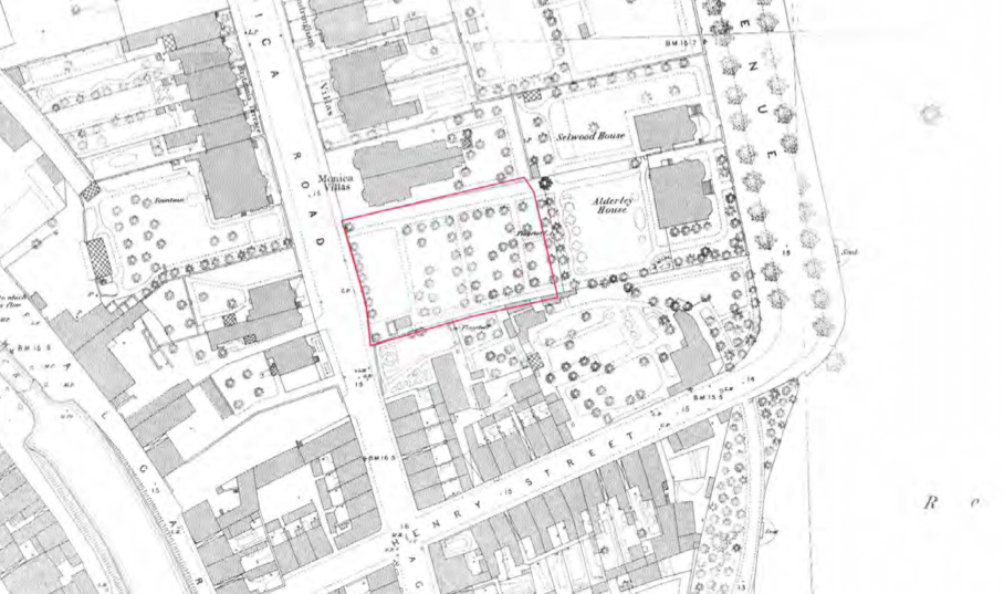
The history of the site and surrounds were researched using a combination of Ordnance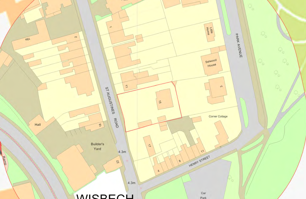 Survey (O.S.) maps, street level imagery and aerial plates, this revealed that the site was initially occupied u open land with glasshouses identified on the 1902 map, further development was noted on the 1927 and 1967 map. A number of potential sources of contamination was noted within 250m of the site.
The planning history of the site was reviewed as part of the desk based research and the reports associated with any previous application were located and studied, no salient information was obtained.
The published geological maps identified the site as being underlain by Tidal Flat deposits which in turn were underlain by the Ampthill Clay Formation
Data provided by regulatory bodies did not identify any other potential sources of contamination.
 On completion of the desk based research a site reconnaissance
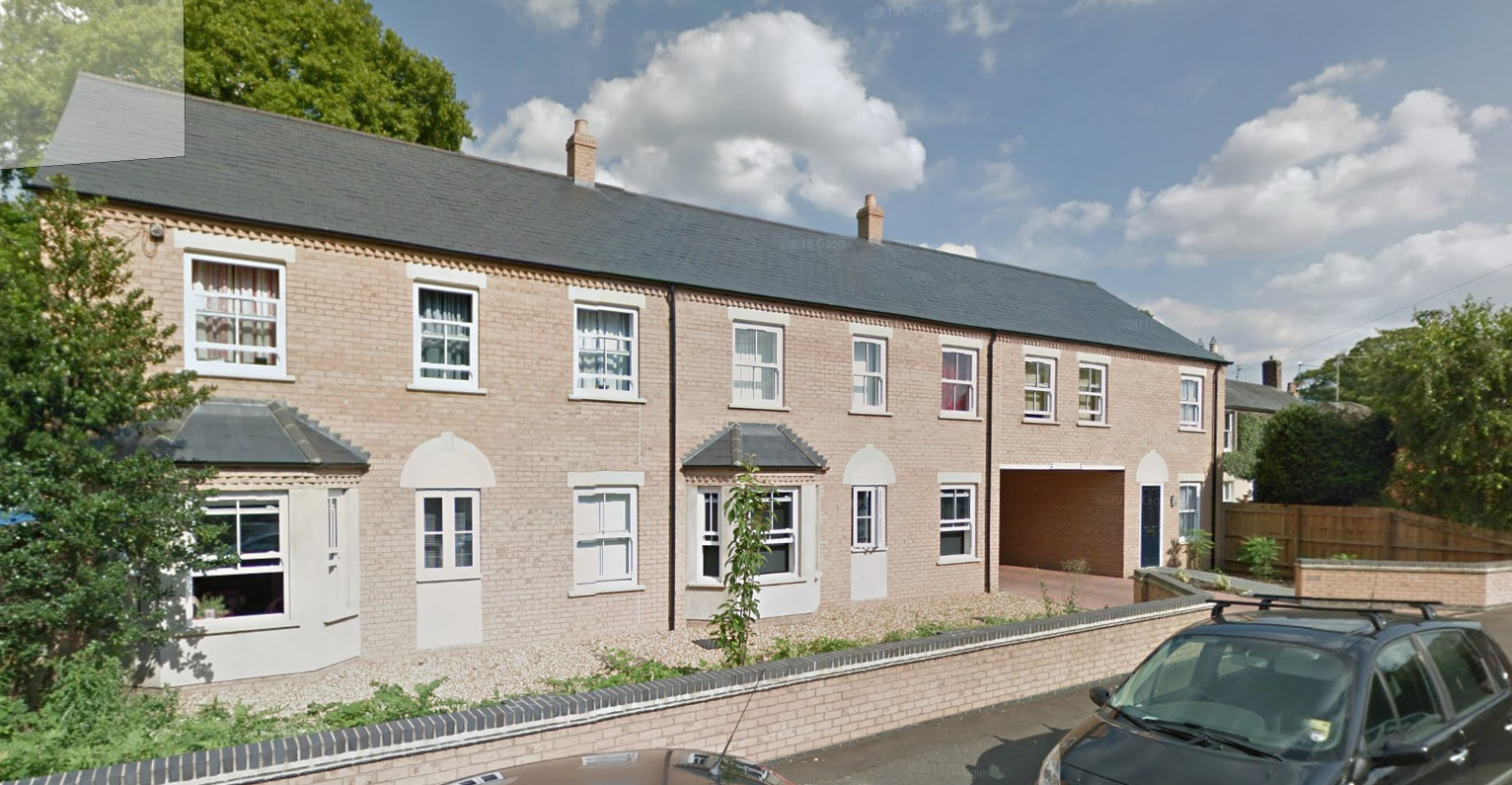
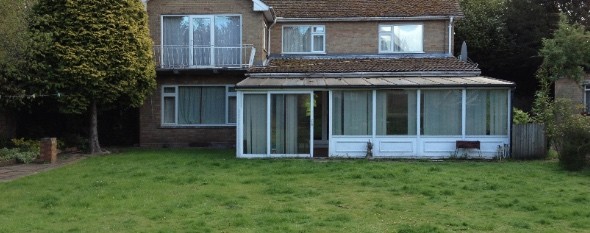
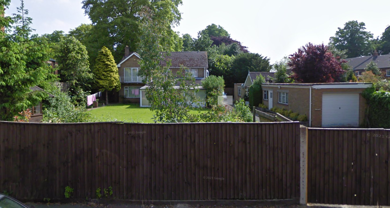
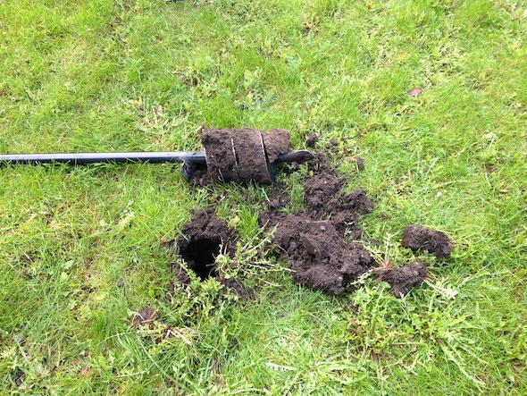
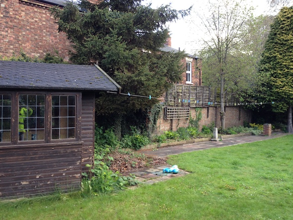 visit was undertaken, this confirmed the site was occupied by a dwelling and associated garden areas. A hand held trial pit was excavated itneh garden area which provided evidence to suggest made ground was not present on the site.
Once the walkover survey was completed a qualitative risk assessment was undertaken on the potential sources of contamination identified in the desk study report in order to determine if any warranted further investigation, this concluded that there were no credible sources of contamination and the report concluded that no further works were warranted.
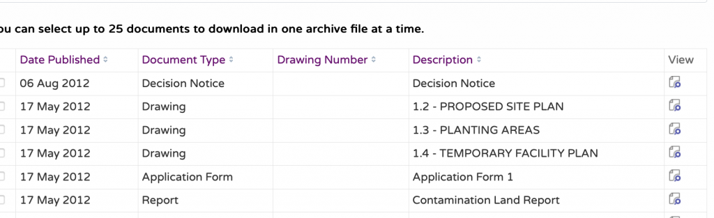
The report was submitted to discharge the contamination land planning condition (F/YR12/3042/COND) with the decision notice confirming the report was accepted.