Residential Development on Former Farm at Tydd St Giles, Cambridgeshire
Case Study Reference: 11-03-07
Planning Authority: Fenland District Council
Planning Reference: F/YR08/0513/F and F/YR11/3028/COND
Synopsis:
Given the sensitive nature of the development (residential) and the history of the site (workshop), a contaminated land planning condition was attached to the decision notice for the proposed development.
The first stage of discharging the condition was to prepare a Phase I desk study report in order to determine if the site has the potential to be impacted by elevated levels of contamination, and to determine the source as well as the likelihood of the risk occurring.
 A desk study determines what issues relating to historical contamination may affect the site, this is undertaken by reviewing the site history using a combination of O.S. maps, aerial, plates and street level imagery, a review of data held by regulatory bodies (Environment Agency, local authority, BGS etc.) as well as a site walkover survey.
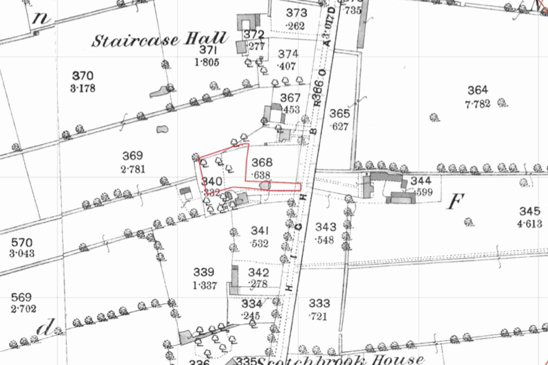
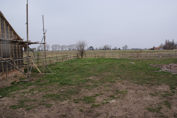
The history of the site and surrounds were researched using a combination of Ordnance Survey (O.S.) maps, street level imagery and aerial plates, this revealed that a pond was initially present on the access track to the site with the remainder of the site forming open land.
The 1974 map revealed the site had been developed and two buildings were present, the 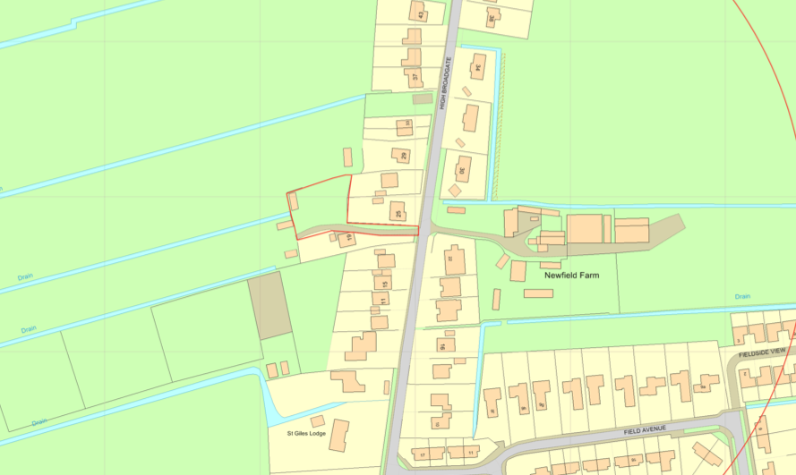 pond had been in-filled, likely as part of the development. A number of ponds were noted off site, all where in-filled by the 1974 map.
The planning history of the site was reviewed, three planning applications were noted, the associated documents were reviewed and no salient information.
The documented geology was given as tidal flat deposits with the bedrock given as the Ampthill Clay formation (mudstone).
Data provided by regulatory bodies confirmed the presence of ponds to the north of the site
 On completion of the desk based research a site reconnaissance
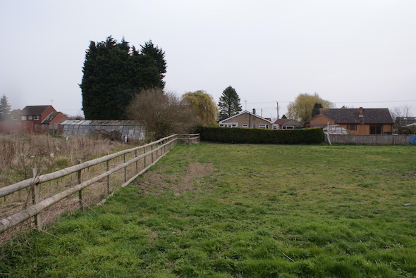
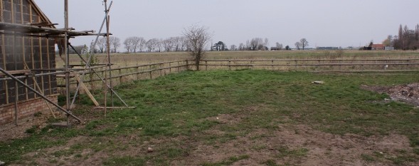
visit was undertaken, this confirmed that the site comprised of open land and the buildings identified on the O.S. maps were no longer present.
Once the walkover survey was completed a qualitative risk assessment was undertaken on the potential sources of contamination identified in the desk study report in order to determine if any warranted further investigation, this concluded that the in-filled pond on the access track did not pose a credible risk, given the lack of evidence of made ground on the site it was concluded that no further assessment was warranted.
The Phase I report was submitted to discharge the contaminated land planning condition (F/YR11/3028/COND), the decision notice confirming the recommendations of the report had been accepted.