Change Of Use From Agricultural Use To A Dwelling, Low Green, Nowton, Suffolk, IP29
Case Study Reference: CS23-03-05
Planning Authority: West Suffolk Council
Planning Reference: West Suffolk Council and DC/23/0336/FUL
Synopsis:
In order to demonstrate that after the development the site could not be classified as ‘contaminated land’ under Part 2A of the Environmental Protection Act a Phase I desk study report was required to support the application for residential redevelopment f the site.
 A desk study determines what issues relating to historical contamination may affect the site, this is undertaken by reviewing the site history using a combination of O.S. maps, aerial, plates and street level imagery, a review of data held by regulatory bodies (Environment Agency, local authority, BGS etc.) as well as a site walkover survey.
The history of the site and surrounds were researched using a combination of Ordnance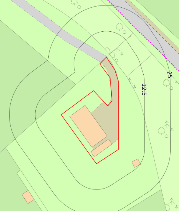 Survey (O.S.) maps, street level imagery and aerial plates, this revealed there was no evidence of development was noted until the 2017 aerial plate and by 2020 the site was occupied by a building.
The planning history of the site was reviewed as part of the desk based research and reports associated with any previous application were located and studied, one application was noted which was for the erection of the current building, the application was dated 2020.
The published geological maps identified the site as being underlain by head which in turn was underlain by chalk. Deposits of made ground were recorded to be present 175m south east of the site. The borehole section sheets published by the BGS were reviewed and no boreholes in close proximity to the site were available hence no further information on ground conditions could be obtained.
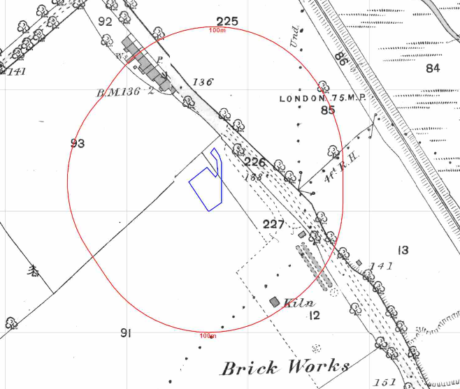
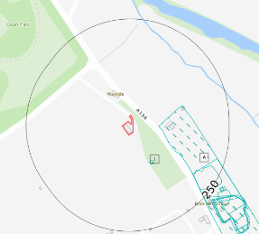 Data provided by regulatory bodies confirmed the presence of a brick works to the south east of the site.
The sensitivity of controlled waters was undertaken, given there were no surface water bodies within 100m the sensitivity was regarded as very low, given the site was within an Outer Zone of a Source Protection Zone the sensitivity of the chalk bedrock was assessed as moderate.
 On completion of the desk based research a site reconnaissance
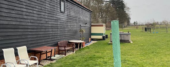
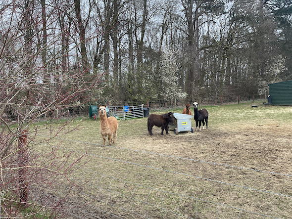
 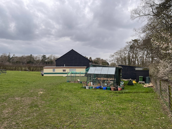 visit was undertaken in order to obtain further information on the potential sources identified in the desk based research and to identify any other potential sources. The walkover survey confirmed the site was occupied by a two storey agricultural/office building, static home and landscaped areas.
Once the walkover survey was completed a qualitative risk assessment was undertaken on the potential sources of contamination identified in the desk study report in order to determine if any warranted further investigation, this concluded that there were no credible sources of contamination and no further works were proposed.
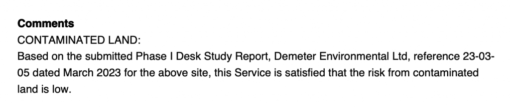
The report was submitted to support the application, the recommendations of the Phase I report were accepted.