
Investigation of Fuel Spillage Due to Theft, Roydsdale Way, Euroway Industrial Estate, Oakenshaw, Bradford, BD4
Planning Reference:
Synopsis:
In order to investigate the impact of the theft of diesel from a tank on the site soils and the soils of the area along the pipe used to syphon the fuel bot a desk study report and intrusive investigation was required.
The main of the desk study report was to determine if any other sources of hydrocarbons were present and to determine the probable background concentrations of hydrocarbons.
 The first stage of the work was to prepare a Phase I desk study report in order to determine if the site has the potential to be impacted by elevated levels of contamination, and to determine the source as well as the likelihood of the risk occurring.
A desk study determines what issues relating to historical contamination may affect the site, this is undertaken by re viewing the site history using a combination of O.S. maps, aerial, plates and street level imagery, a review of data held by regulatory bodies (Environment Agency, local authority, BGS etc.) as well as a site walkover survey.
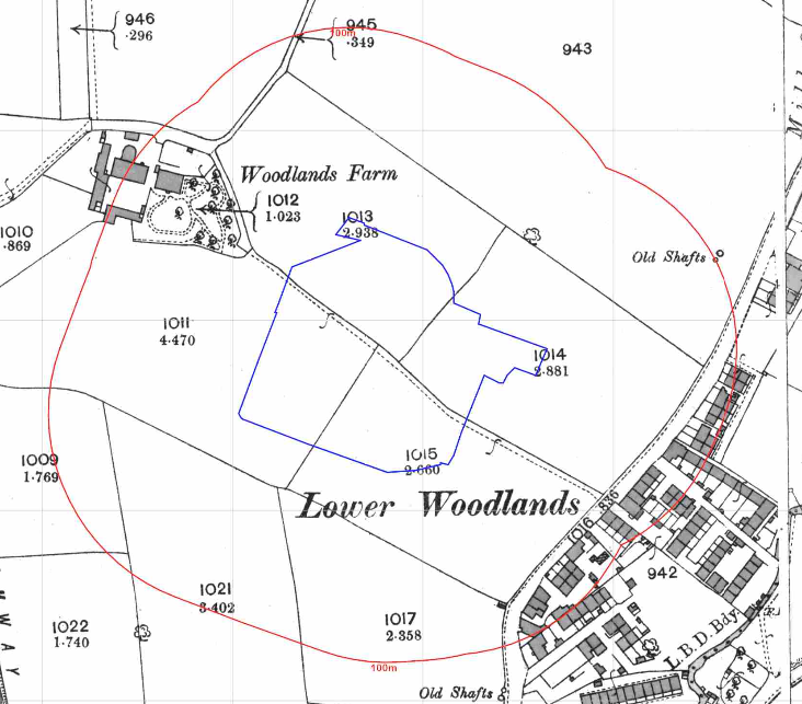
The history of the likely impacted area and surrounds were researched using a combination of Ordnance Survey (O.S.) maps, street level imagery and aerial plates, this revealed the site was undeveloped until the early 1990’s, the current occupied had been in occupation since at least 2019 based on street level imagery.
The planning history of the site was reviewed as part of the desk based research and the reports associated with the previous application were located and studied, no salient information was obtained.
 Both the 10,000 and 50,000 scale geological maps identified
 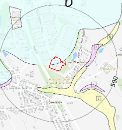 made ground in close proximity to the site as well as alluvium to the east. Drift deposits were recorded to be present on the northern area of the site with the bedrock (Clifton Rock) being present at the surface across the majority of the site.
The borehole section sheets published by the BGS were reviewed and a no boreholes were available for the site or its immediate surrounds.
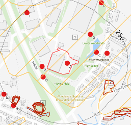 Data provided by regulatory bodies identified a number of parcels
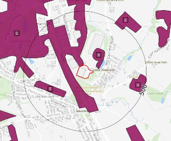
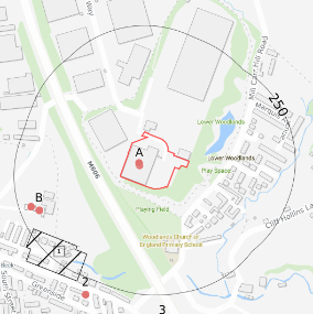 of potentially in-filled land as well as a number of waste exceptions and a landfill 200m west of the site.
On completion of the desk based research a site reconnaissance
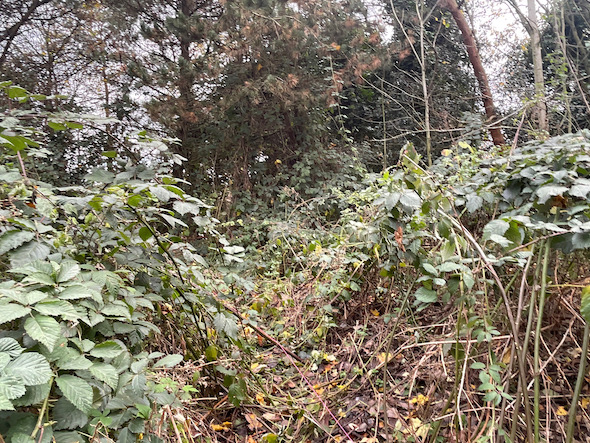
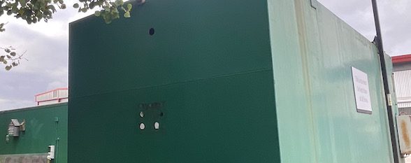
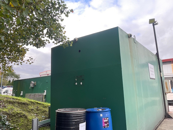
visit was undertaken in order to obtain further information on the potential sources identified in the desk based research and to identify any other potential sources. The walkover survey confirmed the area was wooded with brambles along the alignment of the pipe, evidence of spillage was noted within the wooded area as well as the edge of the open land adjoining the closest road where there was a strong smell of diesel.
The location of the fuel tank as well as visual evidence of releases were noted and it was determined that access to the impacted area prohibited the use of machinery.
Once the walkover survey was completed a qualitative risk assessment was undertaken on any other potential sources of fuels and it was concluded that the only potential source was from the theft of the fuel.
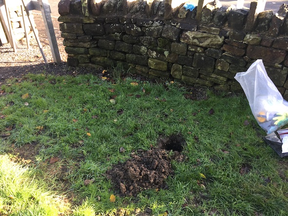 In order to further assess the potential for isolated areas of diesel impacted soils a site investigation comprising of a number of hand held trial pits were undertaken, using headspace analysis to target chemical testing
The results of the chemical testing were assessed and compared to assessment criteria based on the most stringent end use (residential), the assessment concluded that there was the possibility of free phase diesel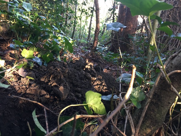 in one location and recommended that the impacted soils were removed.
Given the access restrictions the impacted soils were removed by hand and replaced with clean imported soils.