Residential Development, William Street ,Littleborough, OL1
Case Study Reference: CS20-11-03
Planning Authority: Rochdale Metropolitan Borough Council
Planning Reference: Rochdale Metropolitan Borough Council and 20/01325/FUL
Synopsis:
In order to demonstrate that after the development the site could not be classified as ‘contaminated land’ under Part 2A of the Environmental Protection Act a Phase I desk study report was required to support the application for the erection of a dwelling. The site was occupied by an agricultural building, the past use of the site have the potential to impact site soils.
 A Phase I desk study report assess the potential for a site to be
 impacted by contamination, this is undertaken by researching the history of the site and the surrounds as well as a review of information held by regulatory bodies and a site visit.
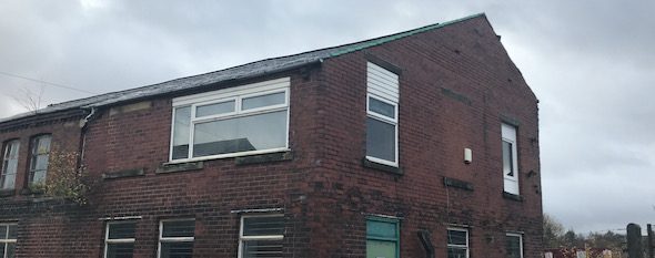
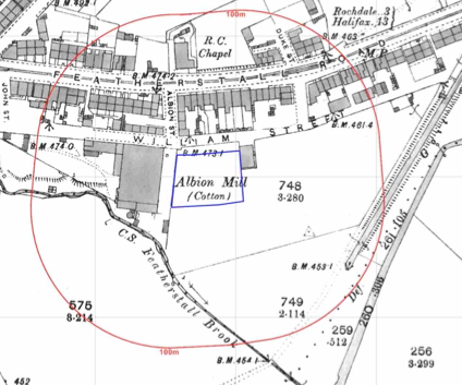
The history of the site and surrounds were researched using a combination of Ordnance Survey (O.S.) maps, street level imagery and aerial plates, the site was developed circa 1908 and formed part of Albion Mill (cotton mill), changes were noted on the 1930 map when the site was identified as a bakery and as a works on subsequent maps.
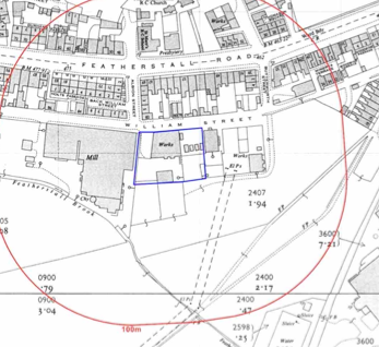 Tanks on the southern area were identified on the 1979 map and aerial plates indicated the southern area was overgrown. A coach works was noted on the north eastern boundary on the 1930 map.
A review of the planning history fo the site revealed the site weas occupied by Airlite Plastics and was used as a storage depot for J Priestly & Sons.
 The site geology was reviewed using both the 1:10,000 and 1:50,000 published maps, deposits of made ground were identified on the 1:10,000 maps.
The drift was identified as Devensian Till, alluvium was also 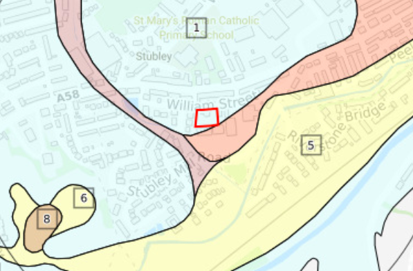 noted on the southern boundary of the site. The bedrock was given as the Pennine Lower Coal Measures. Given the site was in a coal area the Coal Authority were consulted to determine if the site was in a ‘Development High Risk Area’, the data provided indicated that there was no evidence of shallow coal seams underlying the site.
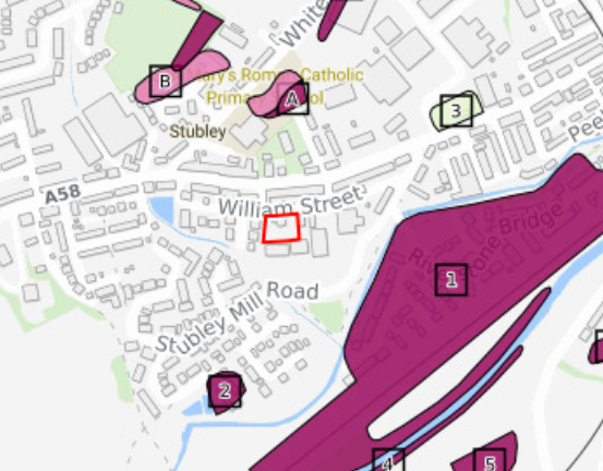
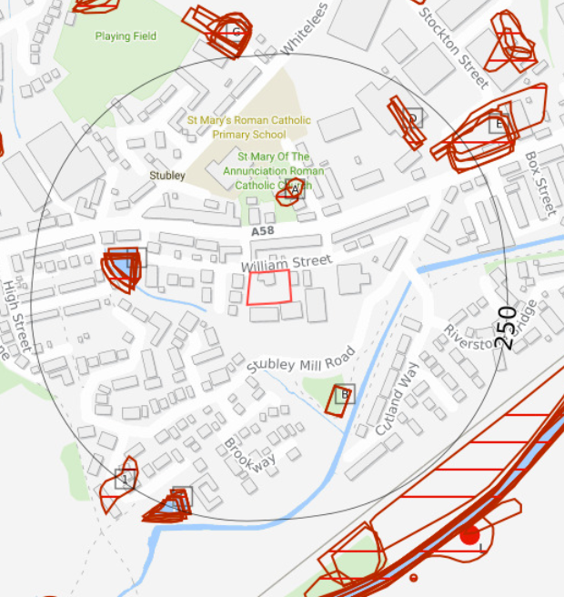 Data provided by regulatory bodies identified a number of reservoirs within 250m of the site as well as the site being occupied by a works, a telecommunications mast and J Priestly & Son.
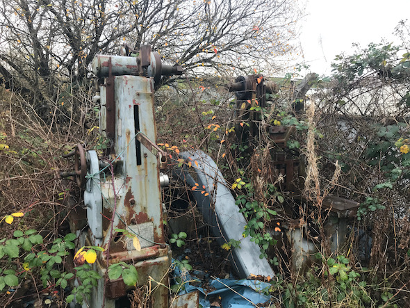
On completion of the desk based research a site reconnaissance visit was undertaken, this confirmed the building was being used as a workshop with offices and storage in the first floor. The area to the east of the building was a loading bay and was at a lower level than the rest of the site.
 On completion of the walkover survey a qualitative risk
 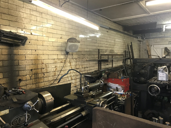 assessment was undertaken on the potential sources of contamination identified in the desk study report in order to determine if any warranted further investigation. This concluded that the past uses of the site as well as the alluvium on the southern boundary posed a potential risk to the proposed development.
A non targeted site investigation was proposed for the potential issues relating to site soils and for the alluvium the options of ground gas monitoring or the incorporation of gas protection measures were given.
The Phase I report was submitted alongside the application and the recommendations were accepted and the requirement for further works conditioned.