Erection of Two Dwellings at Bilsborrow Lane, Bilsborrow, Preston, PR3 0R
Case Study Reference: CS20-04-04
Planning Authority: Wyre Council
Planning Reference: 19/00677/FUL and 19/00677/DIS
Synopsis:
In order to determine if the proposed development was ‘suitable for use’ and that the site could not be determined as contaminated land under Part 2A of the Environmental Protection Act 1990 a contaminated land planning condition was attached to the decision notice for the subject planning application.
The first stage of discharging the contaminated land planning condition was to prepare a Phase I desk study report, this assesses the potential for a site to be impacted by using a wide range of sources including Ordnance Survey maps, information provided by regulators (Environment Agency, local authority, Coal Authority, BGS etc.).
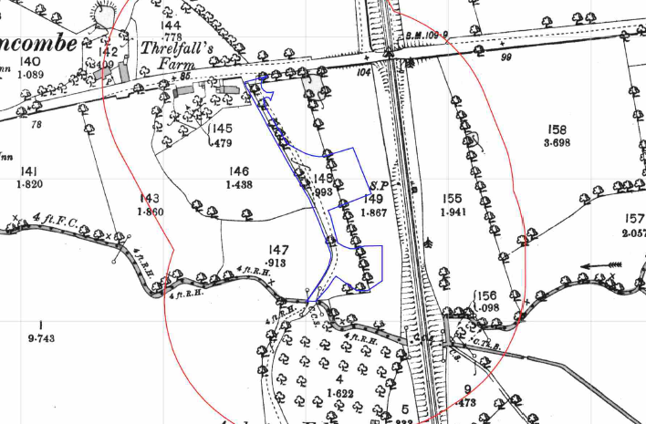 The review of the site history (using historical Ordnance Survey
 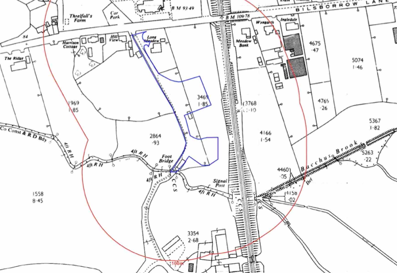 maps and aerial plates) revealed the site was developed circa 2000 when an area of hard-standing was noted on the northern area of the site, no other evidence of development was noted.
The maps also revealed a railway line 30m to the east of the site as well as a pond 30m east. The environmental data did not reveal any further potential issues.
A review of the documented geology indicated that alluvium soils were present on the site, which is a potential source of ground gases.
A review of the planning history of the site identified a previous application (19/00677/FUL), a Phase I ecological survey was submitted with the application and indicated the northern area was gravelled and the building on the northern area was a shed with stables.
 On completio
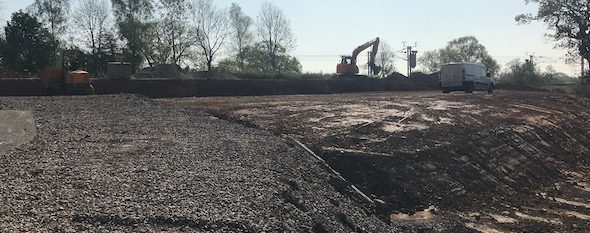
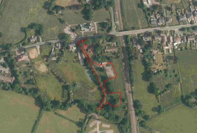
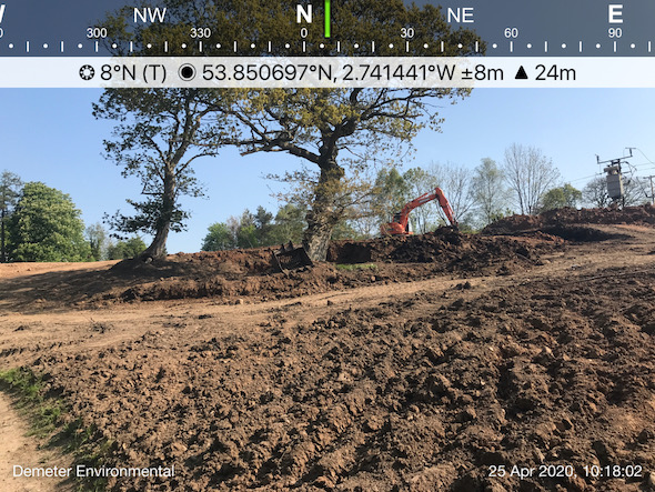 n of the review of the O.S. maps and environmental data a site walkover survey was undertaken, this revealed that site levels had been reduced and the natural soils were exposed across the site.
A qualitative risk assessment was undertaken and this concluded that there were no potential sources of contamination (e.g. no made ground was noted on site during the walkover survey and the potential sources of contamination identified on the O.S. maps were discounted as credible sources (low or very low risk) in the risk assessment. The only credible source was the alluvium underlying the southern area site.
As an alternative to ground gas monitoring, given that the potential source was natural, gas protection measures were proposed as an alternative to monitoring.

The desk study report was submitted with 19/00677/DIS, the proposals of the report were accepted and the proposals for the gas protection measures were required.