Erection of an Agricultural Workers Dwelling, Longmoor Lane, Nateby, Preston, Lancashire, PR3
Case Study Reference: CS20-01-01
Planning Authority: Wyre Council
Planning Reference: 16/00092/FUL and 16/00092/DIS
Synopsis:
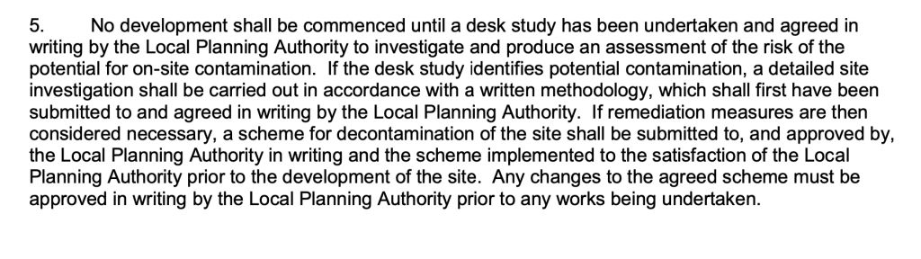
In order to determine if the proposed development was ‘suitable for use’ and that the site could not be determined as contaminated land under Part 2A of the Environmental Protection Act 1990 a contaminated land planning condition was attached to the decision notice for the subject planning application.
The first stage of discharging the contaminated land planning condition was to prepare a Phase I desk study report, this assesses the potential for a site to be impacted by using a wide range of sources including Ordnance Survey maps, information provided by regulators (Environment Agency, local authority, Coal Authority, BGS etc.).
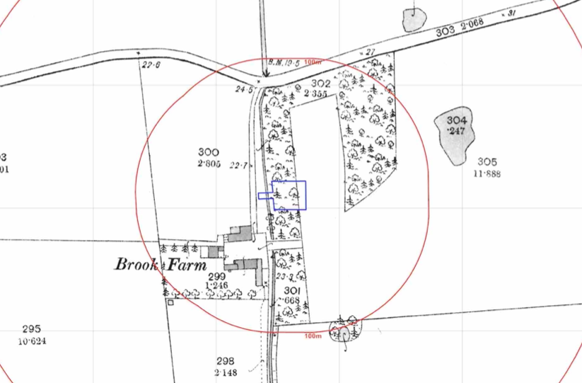 The history of the site and the surrounds was researched using a combination of historical O.S. maps, aerial plates and street level imagery, this revealed the site was undeveloped and noted three ponds in close proximity to the site.
The documented geology identified deposits of peat to the south of the site, a potential source of ground gases.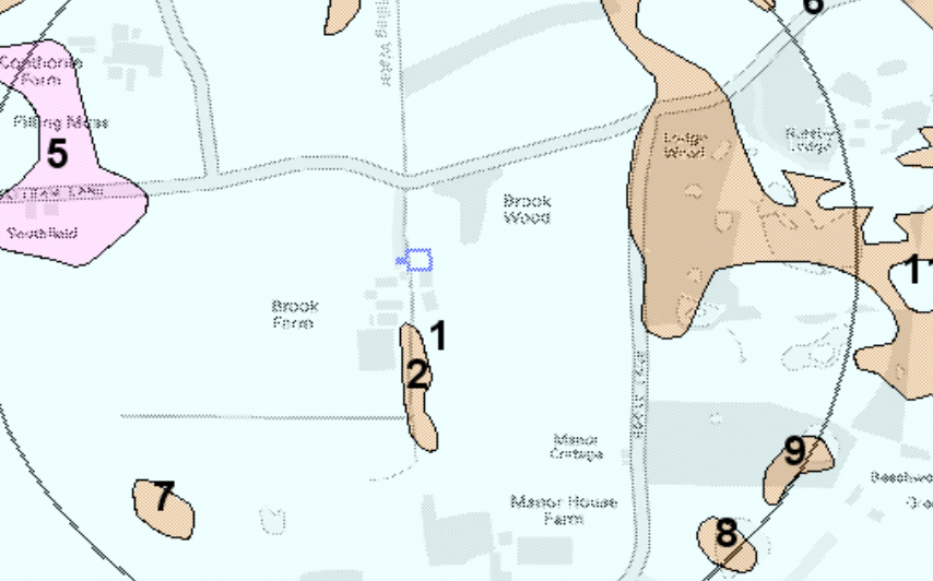
A review of the planning history of the site did not reveal any salient information.
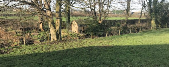
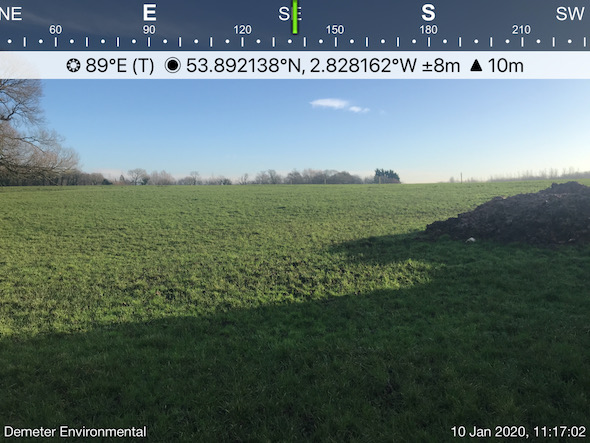 On completion of the desk based assessment a site walkover visit was undertaken, this revealed the site was an open parcel of land.
Once the site visit was completed a 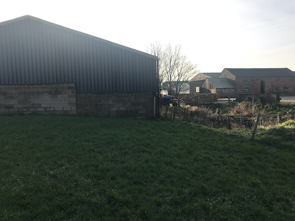 qualitative risk assessment undertaken as part of the report concluded that he risk from the peat was negligible and concluded that no further works were warranted.
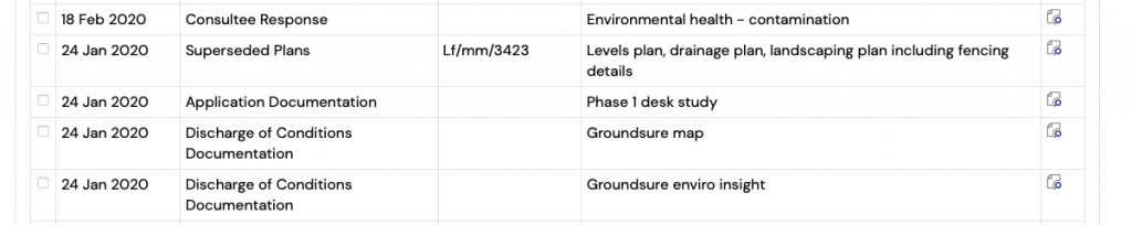
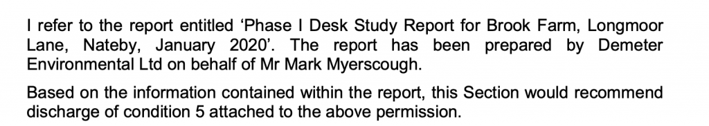
The report was submitted to discharge the condition (16/00092/DIS). The desk study report is available in three parts (‘Phase 1 desk study,’ ‘Grondsure map’ and ‘Groundsure enviro insight’) and the memo from the Environmental Health Officer (identified as ‘Environmental health contamination‘) confirms the report was accepted and the condition was discharged.