Residential Redevelopment of a Former Works, Mather Road, Bury, BL9
Case Study Reference: CS18-08-03
Planning Authority: Bury Metropolitan Borough Council
Planning Reference: Bury Metropolitan Borough Council and 63056
Synopsis:
In order to demonstrate that after the development the site could not be classified as ‘contaminated land’ under Part 2A of the Environmental Protection Act a Phase I desk study report was required to support the application for residental redevelopment f the site.
 A Phase I desk study report assess the potential for a site to be impacted by contamination, this is undertaken by researching the history of the site and the surrounds as well as a review of information held by regulatory bodies and a site visit.
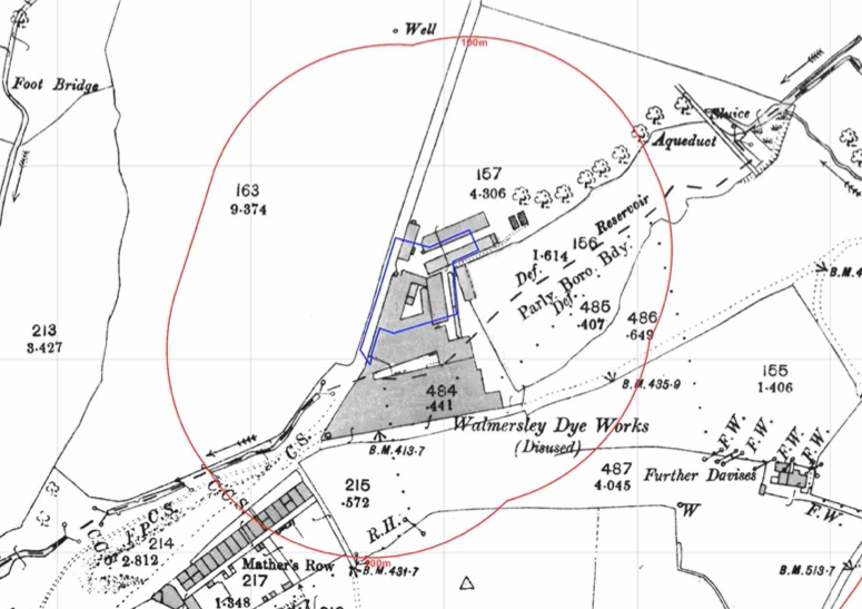
The history of the site and surrounds were researched using a 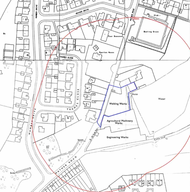 combination of Ordnance Survey (O.S.) maps, street level imagery and aerial plates, this revealed that the site was initially developed between 1850 and 1890 when the site was occupied by a dye and bleach works, subsequent maps identify the site as a works and welding works.
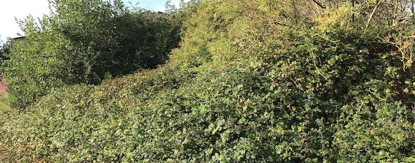
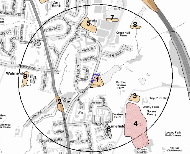
Various works and an in-filled reservoir were identified forming the site boundaries and a number of parcels of in-filled land were noted within 250m of the site.
The planning history of the site was reviewed as part of the desk based research and the reports associated with the previous application were located and studied, a combined Phase I and Phase II report was submitted for the adjoining site which contained information on the subject site. This was used to refine the preliminarily conceptual model.
 The published geological maps identified the site as being underlain by Devensian TIll which in turn were underlain by the Rossendale Formation. Deposits of made ground were also recorded to be present on the site. As no publicly available boreholes for the areas were available from the BGS no further information in ground conditions could be obtained.
Data provided by regulatory bodies identified a number of parcels of in-filed land within 250m of the site as well as confirming the past uses of the site.
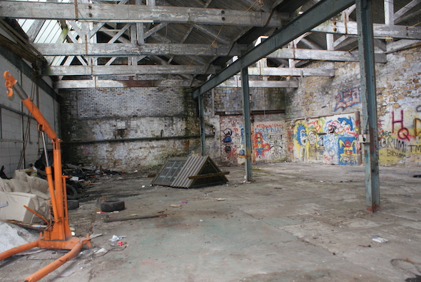
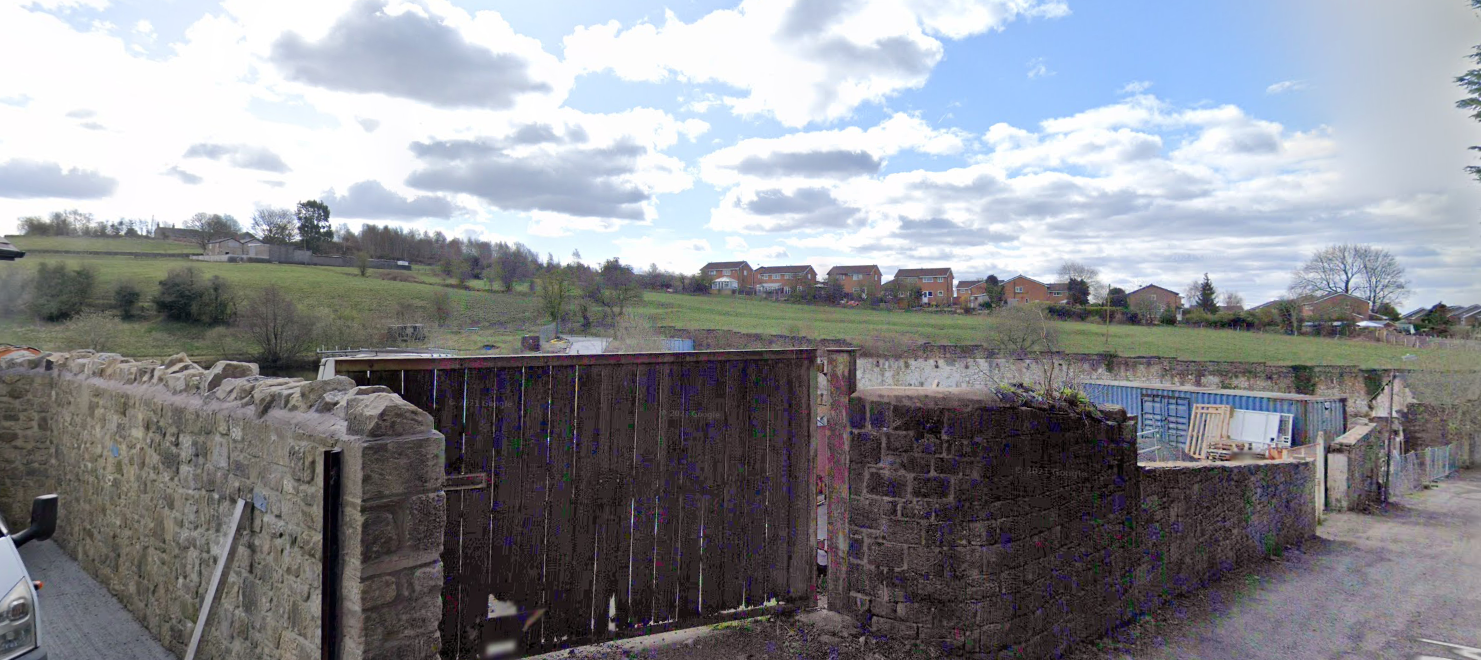
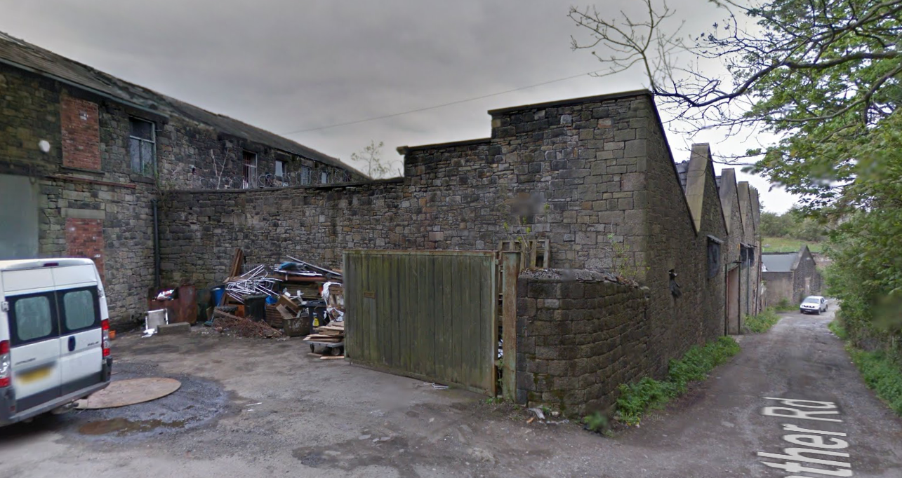
On completion of the desk based resear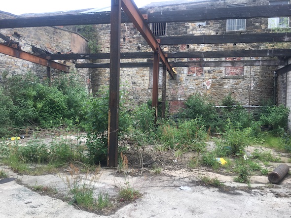 ch a site reconnaissance visit was undertaken, this confirmed the buildings associated with the dye works were present, the southern area had been used asa scrap yard and the building had been damaged in a fire.
Once the walkover survey was completed a qualitative risk assessment was undertaken on the potential sources of contamination identified in the desk study report in order to determine if any warranted further investigation, this concluded that there were a number of credible sources of contamination that warranted further assessment.
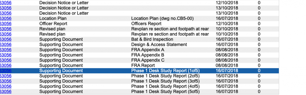
The report was submitted alongside the previous reports, the recommendations for further works were approved and the contaminated land planning condition partly discharged.