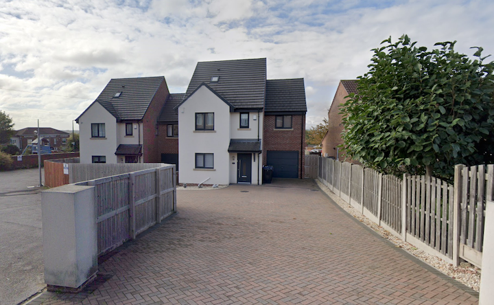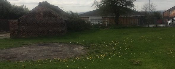
Residential Development, Darton Lane, Mapplewell, Barnsley, S75
Case Study Reference: CS17-05-03
Planning Authority: Barnsley Council
Planning Reference: Barnsley Council and 2018/0171
Synopsis:
Due to the site being within a ‘Development High Risk Area’ the Coal Authority raised an object to the application until the applicant had submitted a Coal Mining Risk Assessment (CMRA).
The aim of a CMRA is to identify any coal mining legacy risks and set out a proposed mitigation strategy to demonstrate to the LPA that the site can be made safe and stable for the proposed development. In some cases it may be possible to ensure that the development layout avoids recorded high risk features.
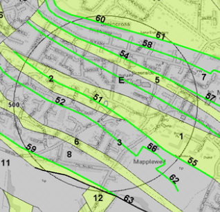 The published geology indicated that the site was in an rea where the bedrock was exposed at the surface and that the site was underlain by the Pennine Middle Coal Measures Formation, a search of the BGS borehole database indicated no records were available for the vicinity of the site. The geological maps also confirmed there was an inferred coal seam outcropping just off the site.
Information provided by the Coal Authority also indicated that there was evidence to suggest that there was the possibility of unrecorded shallow worked seams (within 30m of the surface).
Information provided by the Coal Authority also indicated that there was evidence to suggest that there was the possibility of unrecorded shallow worked seams (within 30m of the surface) with two areas where coal claims had bene made.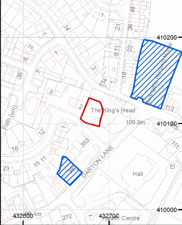
Based on the potential for ground instability further works were proposed, which would be required only once planning has been granted. It was proposed that three boreholes to a nominal depth of 30mbgl would be sunk on the site.
The Coal Authority raised their objection to the application and the requirement for the further works were conditioned within the decision notice.