Residential Redevelopment of Land at Winstanley, Wigan, WN3
Case Study Reference: 16-05-11
Planning Authority: Wigan Council
Planning Reference: A/12/77219
Synopsis:
Given the history of the site and the sensitivity of the development contaminated land planning condition was attached to the decision notice for the application to erected a dwelling on the site. Demeter Environmental were commissioned to prepare the desk study report to prepare the reports required to discharge the condition. The first stage was to prepare a Phase I deks study report.
A desk study determines what issues relating to historical contamination may affect the site, this is undertaken by reviewing the site history using a combination of O.S. maps, aerial, plates and street level imagery, a review of data held by regulatory bodies (Environment Agency, local authority, BGS etc.) as well as a site walkover survey.

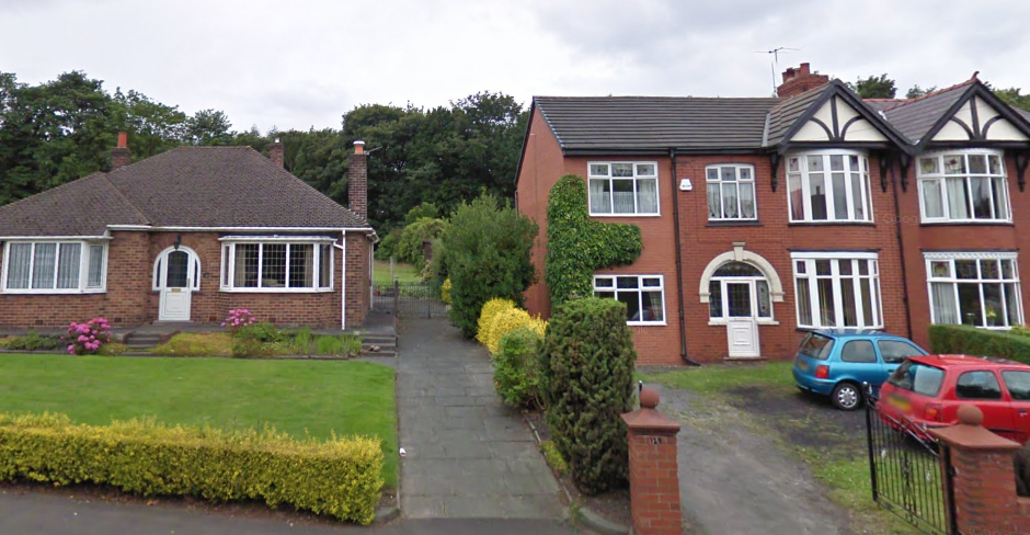
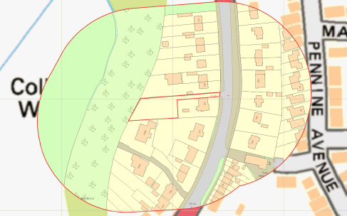 The first stage of the preparation of the desk study report was to review the history of the site and the surrounding area using Ordnance Survey maps as well as aerial plates and street level imagery. The first edition O.S .map revealed that the site formed part of ‘Winstanley Colliery’ with railway lines crossing the site as well as a chimney on the eastern area. A reservoir was also present on the northern boundary of the site, and a shaft was present off the south eastern boundary of the site.
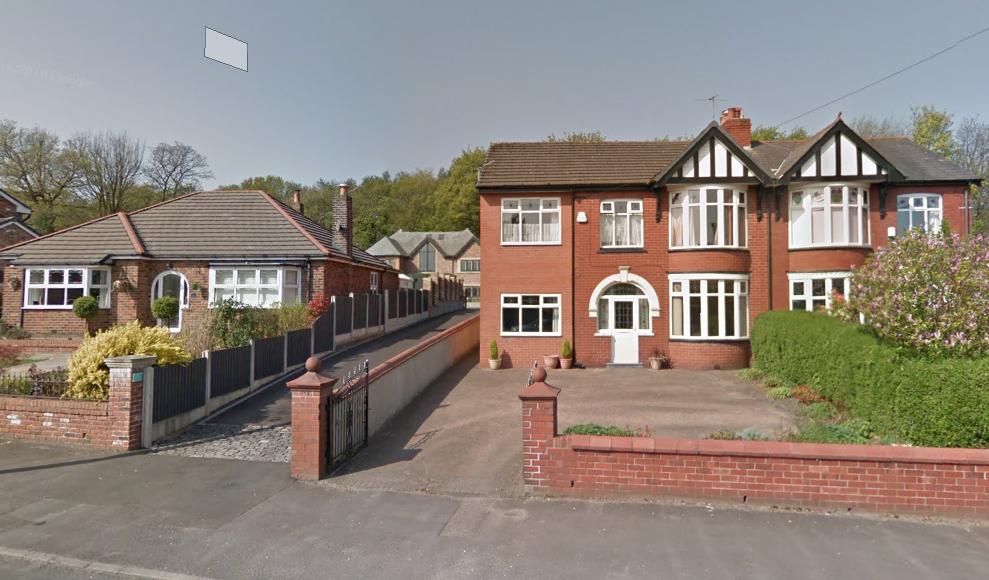
The site was cleared after the closure of the colliery and appeared to form part of the rear garden of a dwelling. Aerial plates or street level imagery did not provide any further information.
 A number of parcels of potentially in-filled land were identified to be present within 250m of the site. Data provided by the Environment Agency confirmed the absence of any landfills within 250m of the site.
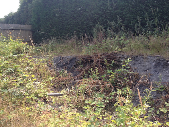
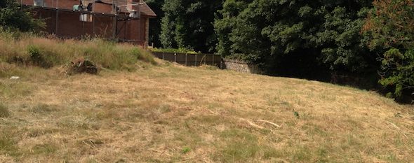
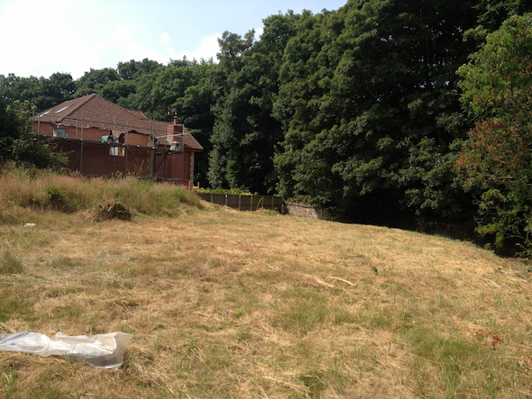 On completion of the desk based assessment of the site, the site walkover survey was undertaken, which revealed the site was overgrown with the bedrock (mudstone) being visible at a number of locations.
Whilst the qualitative risk assessment identified the past site used (colliery, railway lines, reservoir etc.) all had the potential to impact site soils, changes in site levels associated with the proposed development would remove any potential sources of contamination.
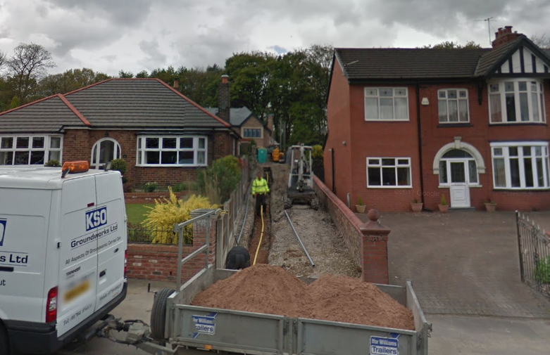
As the development progressed the design of the proposed dwelling were amended and the previous assumptions were no longer applicable. Based on this an intrusive survey was 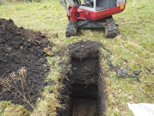 undertaken to determine if the site soils were impacted by elevated levels of contamination. The scope of works were agreed with the local authority prior to the works commencing.
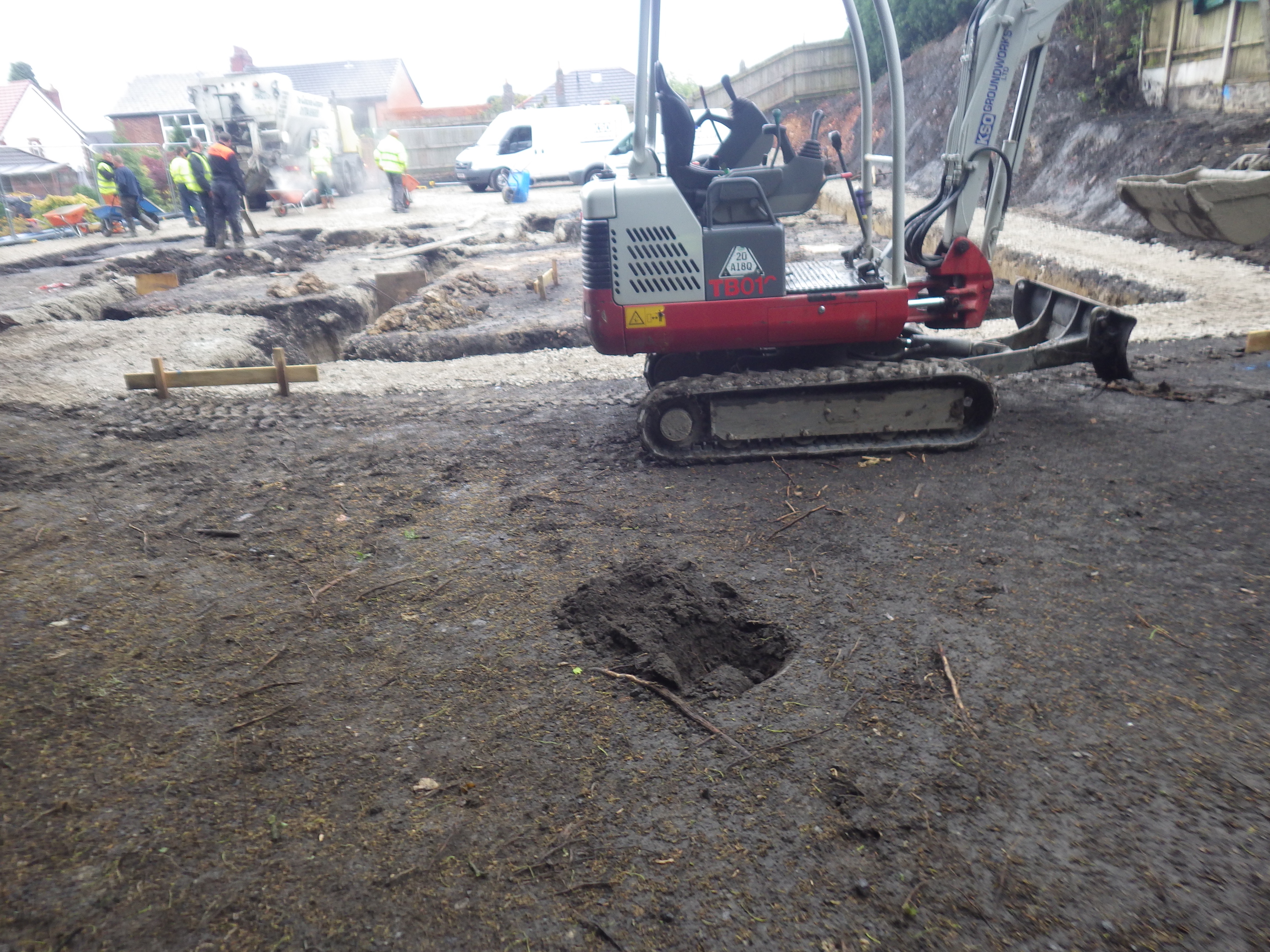
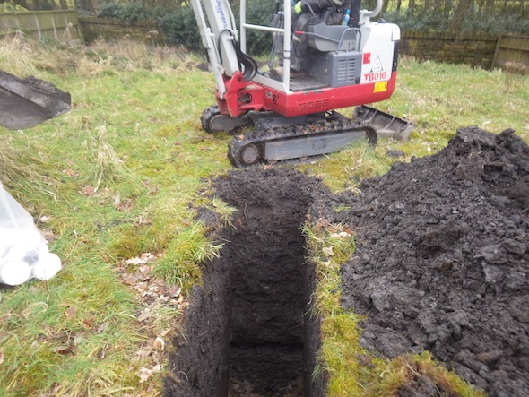 The site investigation comprised of the excavation of eight trial pits and a trial trench along the footprint of the in-filled reservoir. Made ground was recorded in the majority of the positions of depth of up to 2.2mbgl.
Samples of the made ground were taken for a broad range chemical analysis based on the potential sources of contamination identified in the desk study report. The assessment of the data indicated the made ground on the site was impacted by a number of heavy metals including arsenic.
It was concluded that either a cover system need to be placed on the proposed garden and landscaped areas or the source (made ground) needed to be removed from proposed garden and landscaped areas.
Given that the site levels were to be reduced, the developer concluded that the removal of the made ground was the preferred option.
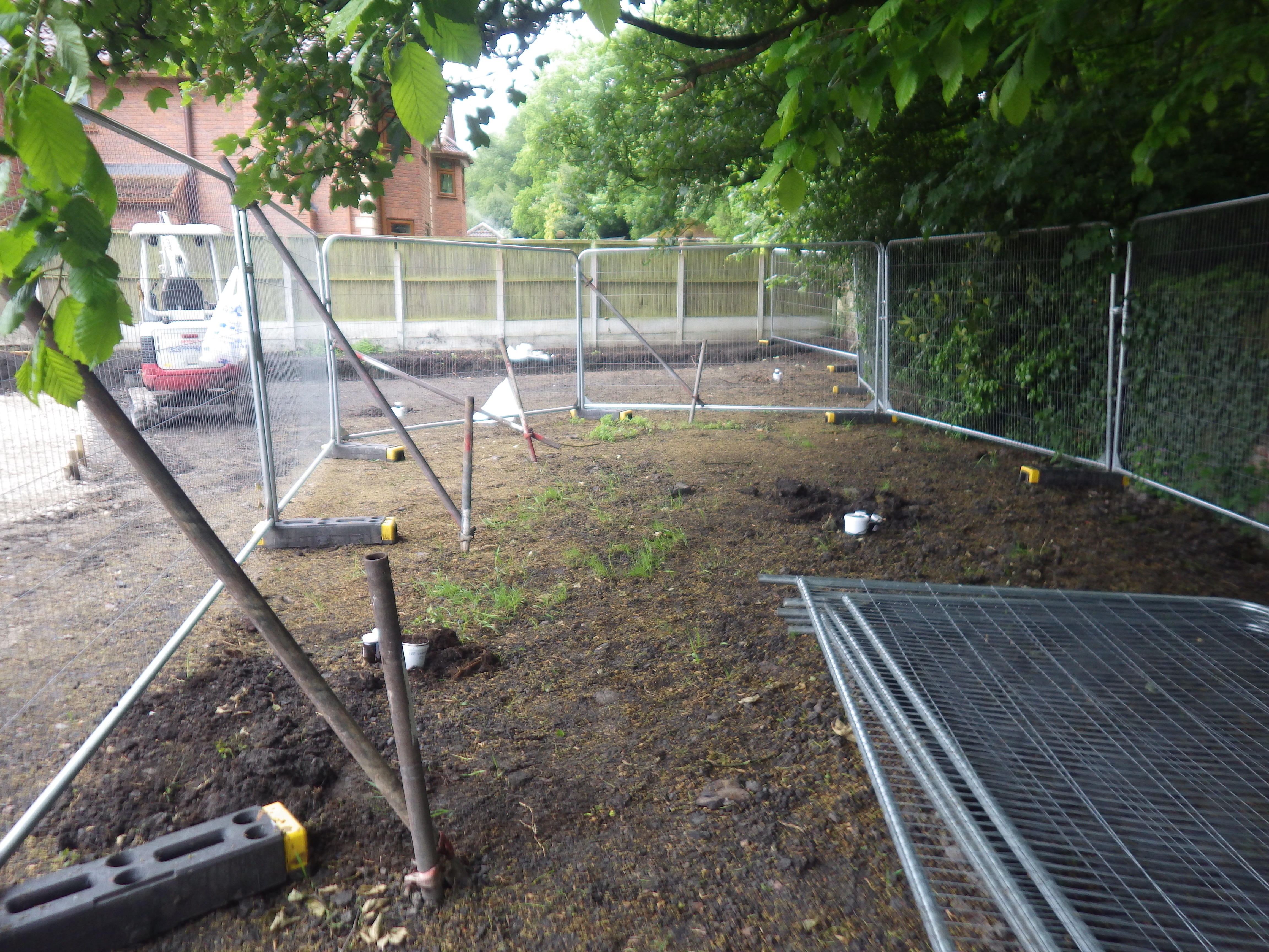
 Once the recommendations of the Phase II report were approved by the local authority the development commenced. Once the levels had been reduced in the garden areas Demeter Environmental were invited back to inspect the exposed soils, and whilst there were very small exceedances of the arsenic and beryllium thresholds, the exceedances were assessed and it was concluded that the exceedances did not pose a risk to human health.
The completion report was submitted to the local authority and the final part of the contaminated land planning condition was discharged.
Reports submitted with the application can be accessed via the Wigan planning portal, (ref A/12/77219)