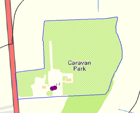
Extension of a Caravan Park, Thorne Road Austerfield Doncaster DN10
Case Study Reference: CS16-04-14v
Planning Reference: Doncaster Metropolitan Borough Council and 16/03190/FUL
Synopsis:
In order to demonstrate that after the development the site could not be classified as ‘contaminated land’ under Part 2A of the Environmental Protection Act a Phase I desk study report was required to support the application for residential redevelopment f the site.
 A Phase I desk study report assess the potential for a site to be impacted by contamination, this is undertaken by researching the history of the site and the surrounds as well as a review of information held by regulatory bodies and a site visit.
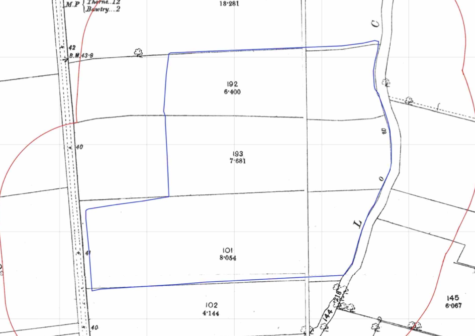
The history of the site and surrounds were researched using a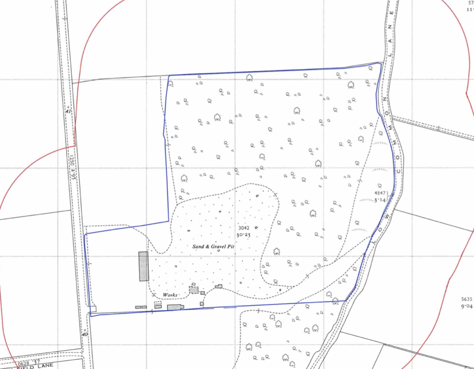 combination of Ordnance Survey (O.S.) maps, street level imagery and aerial plates, this revealed that the site was initially undeveloped and by the 1960-1961 map the south western area of the site formed a gravel pit with associated works. A second gravel pit was also noted 240m west of the site.
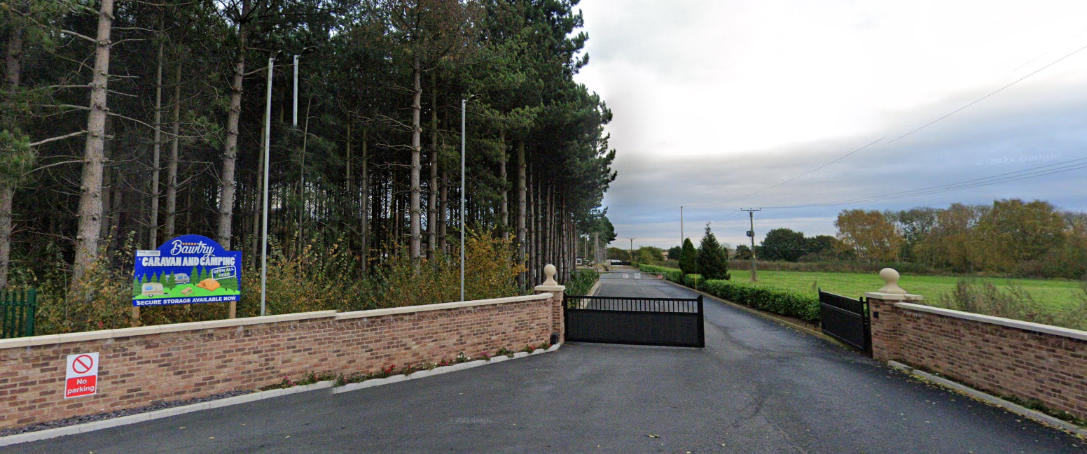
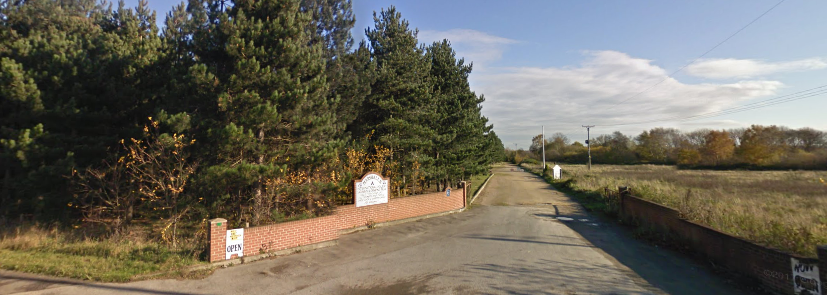
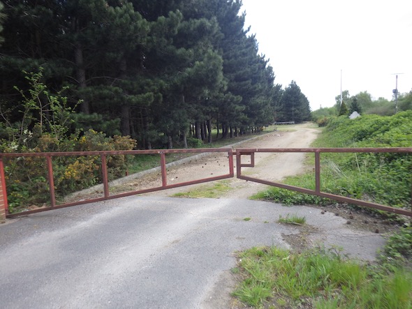
Street level imagery confirmed the site was occupied by a caravan park.
The planning history of the site was reviewed as part of the desk based research in order to establish the planning history of the site as well as reviewing any documents submitted with the applications in order to obtain further information on the past uses of the site. NO salient information was sourced.
 The published geological maps identified the site as being
 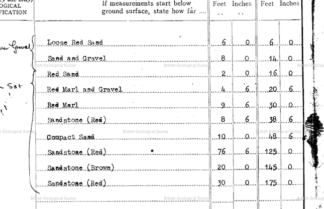 underlain by River Terrace Deposits (sands and gravels) which was in tun underlain by the Nottingham Castle Sandstone Formation), borehole records held by the BGS were reviewed and a borehole had bene sunk on site, this confirmed the drift as sand and gravel with bedrock at 4.9mbgl.
Data provided by Public Health England and the BGS indicated the site was not in an area where radon was a potential issue. The site was also not in an area where there were elevated concentrations of naturally elevated contamination.
Data provided by regulatory bodies confirmed the presence of a pit 200m west as well as a works on the site. A water works was also note on the southern boundary of the site.
 On completion of the desk based research a site reconnaissance
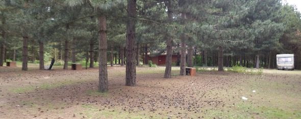
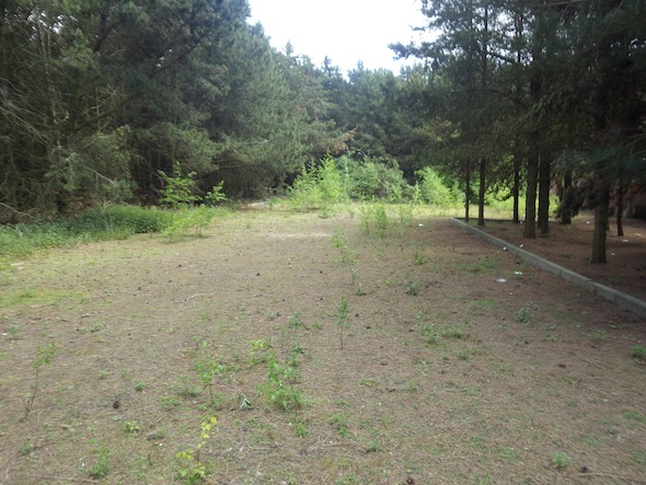 visit was undertaken to provide further information on any potential sources of contamination identified and to determine if any other potential sources are present. This confirmed the site was used as a caravan park with a number of caravans and associated facilities present.
Once the walkover survey was completed a qualitative risk assessment was undertaken on the potential sources of contamination identified in the desk study report in order to determine if any warranted further investigation, this concluded that the works, the gravel pit and any associated materials deposited in the pit posed a potential risk. It was proposed that further intrusive works were undertaken to provide more information to assess the risks.

The report was submitted to support the application (16/03190/FUL), the proposals for further investigation and assessment accepted and the further works ocniditoned.