
Environmental Permit Application, Dale Street, Stalybridge
Planning Reference:
Synopsis:
In order to provide additional information on the historical uses of the site and the potential for historical contamination to be present on the site a desk study report was required to support the application for an environmental permit.
 A desk study determines what issues relating to historical contamination may affect the site, this is undertaken by reviewing the site history using a combination of O.S. maps, aerial, plates and street level imagery, a review of data held by regulatory bodies (Environment Agency, local authority, BGS etc.) as well as a site walkover survey.
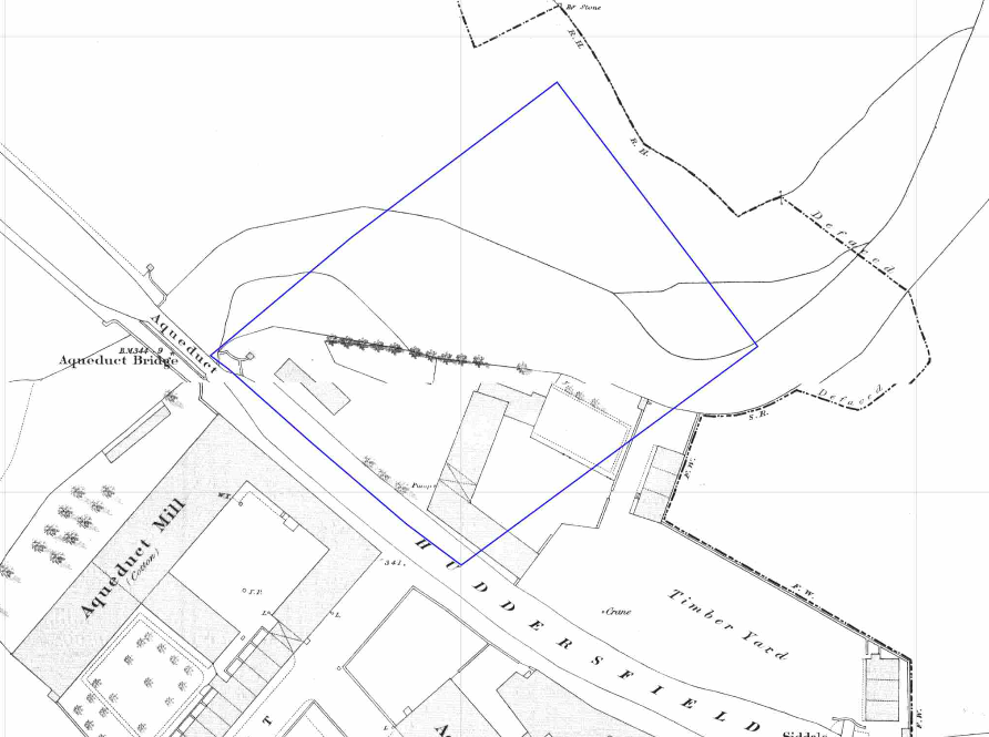
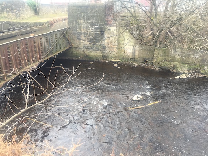
The history of the likely impacted area and surrounds were researched using a 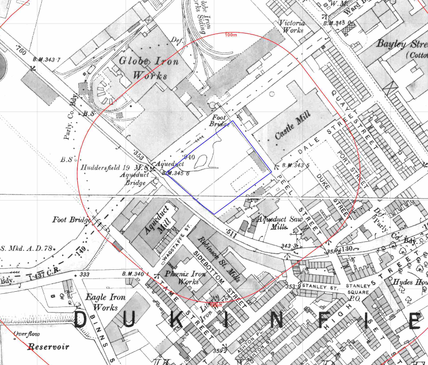 combination of Ordnance Survey (O.S.) maps, street level imagery and aerial plates, this revealed that initially (1852) the site appears to partly comprise of a timber yard and the River Tame flowed through the site, by 1863 the river Tame had been diverted and formed the north western boundary of the site. By 1872 part of the site appeared to form part of the River Tame and by 1898 the site was occupied by a Saw Mill and a railway siding.
By 1966 the site was occupied by a timber yard, box works and engineering works, by 1982 the engineering works is identified as a works and by 1989 the entirety of the site is identified as a works.
Street level imagery confirmed the area occupied by what appeared ot be a recycling facility.
 The planning history of the site was reviewed as part of the desk based research and the reports associated with the previous application were located and studied, no salient information was obtained.
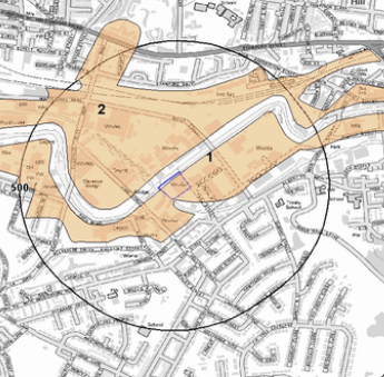
The published geological maps identified the site was in an area 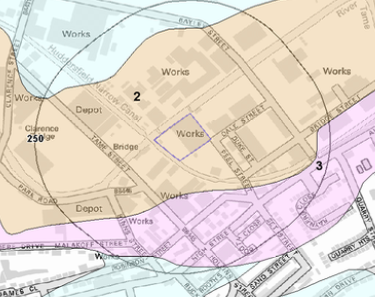 where deposits of made ground are recorded to be present, deposits of alluvium were also recorded to be present under the site.
The borehole section sheets published by the BGS were reviewed and a borehole was present 12m from the site which was confidential and could not be obtained.
Data provided by regulatory bodies confirmed the site had been occupied by an iron works, railway sidings, mill, a landfill was also identified 186m north west of the site.
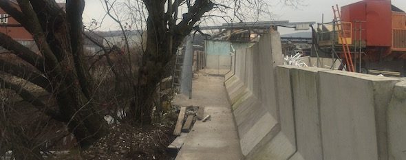
 On completion of the desk based research a site reconnaissance visit was undertaken in order to obtain further information on the potential sources identified in the desk based research and to
 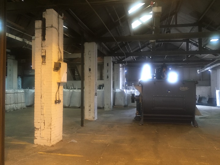 identify any other potential sources. The walkover survey confirmed site was used for the recycling of PVCu with the majority fog the site being used to store PCV pellets.
Once the walkover survey was completed a qualitative risk assessment was undertaken on any other potential sources, whislt this identified the potential of contamination from historical sources, the current use of the site was regarded as a low risk of contamination.