Residential Development, Manchester Road, Heywood
Case Study Reference: 14-09-04
Planning Authority: Rochdale Borough Council
Planning Reference: 14/00562/FUL and 14/01162/DOC
Synopsis:
Given the sensitive nature of the development (residential) and the history of the site a contaminated land planning condition was attached to the decision notice for the proposed development.
 The first stage of discharging the condition was to prepare a Phase I desk study report in order to determine if the site has the potential to be impacted by elevated levels of contamination, and to determine the source as well as the likelihood of the risk occurring.
A desk study determines what issues relating to historical contamination may affect the site, this is undertaken by reviewing the site history using a combination of O.S. maps, aerial, plates and street level imagery, a review of data held by regulatory bodies (Environment Agency, local authority, BGS etc.) as well as a site walkover survey.
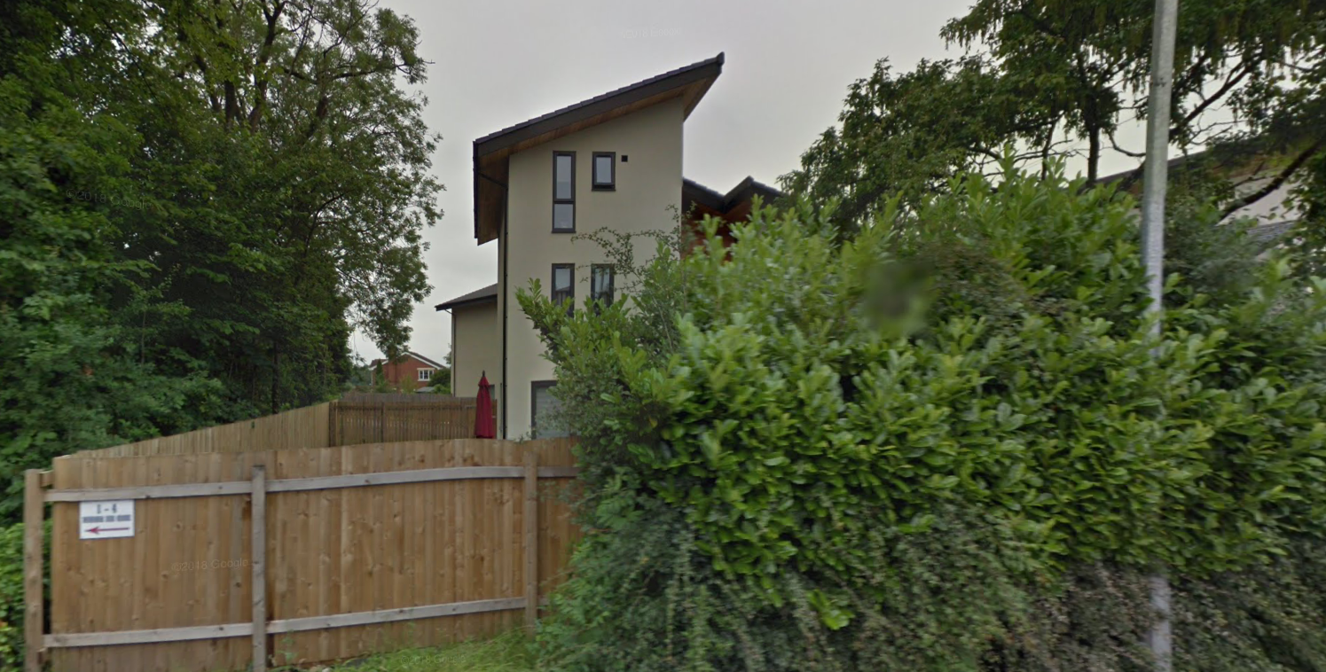
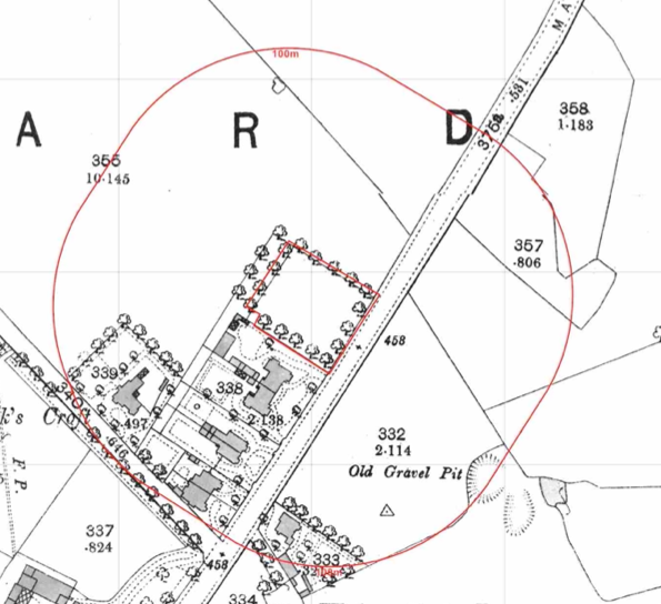
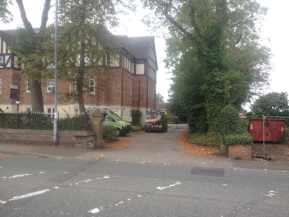
The history of the site and surrounds were researched using a combination of Ordnance  Survey (O.S.) maps, street level imagery and aerial plates, this revealed the site initially formed part of a larger parcel of open land, the site formed part of the adjoining garden on the 1890 map. A dwelling was built on the site between 1965 and 1970 and was demolished prior to the 2010 map.
Street level imagery indicate the dwelling had been demolished prior to 2008. Two gravel pits and a pond were noted within 250m of the site.
The planning history of the site was reviewed as part of the desk based research, the reports associated with any previous application were located and studied, no salient information was obtained.
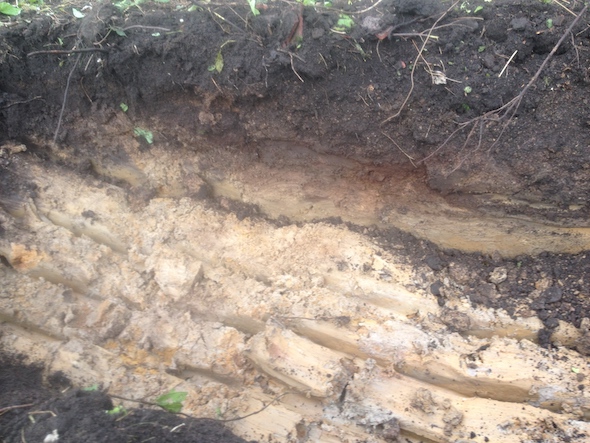
The published geological maps identified the site being underlain by Devensian Till which in turn was underlain by Pennine Middle Coal Measures. No BGS borehole were available in close proximity to the site to provide further information on the ground conditions.
Data provided by regulatory bodies confirmed the presence of the two gravel pits.
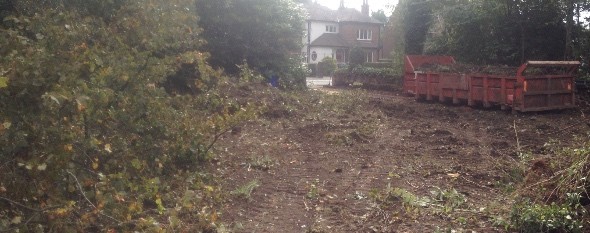
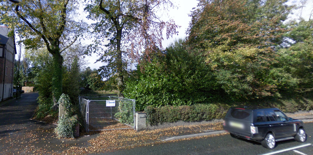
 On completion of the desk based research a site reconnaissance
 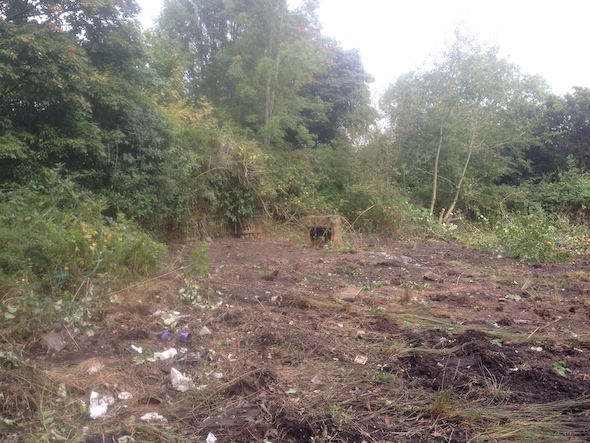 visit was undertaken, this confirmed the previous budling had been demolished and the site had been stripped.
As part of the survey the client excavated a number of trial its, the recorded geology confirmed the published geology and the trial pits were used to demonstrate made ground was no present on the site.
 Once the walkover survey was completed a qualitative risk assessment was undertaken on the potential sources of contamination identified in the desk study report in order to determine if any warranted further investigation, this concluded that there were no credible sources of contamination and no further works were warranted.