Conversion of Office Buildings to Residential, Mixenden, Halifax, Calderdale
Case Study Reference: 14-05-02
Planning Authority: Calderdale Council
Planning Reference: Calderdale Council and 15/00590/OUT
Synopsis:
In order to demonstrate that after the development the site could not be classified as ‘contaminated land’ under Part 2A of the Environmental Protection Act a Phase I desk study report was required to support the application for the erection of a dwelling.
A Phase I desk study report assess the potential for a site to be impacted by contamination, this is undertaken by researching the history of the site and the surrounds as well as a review of information held by regulatory bodies and a site visit.
 The history of the site and surrounds were researched using a
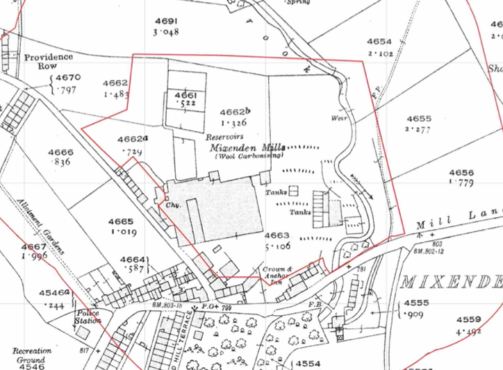
 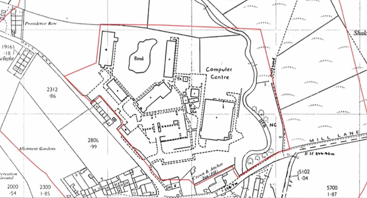 combination of Ordnance Survey (O.S.) maps, street level imagery and aerial plates, this revealed that the site was developed before the first edition O.S. maps from 1894 by Hays Mill, a gasometer and tanks were noted on subsequent maps and the site was redeveloped between 1977 and 1983 when a number of budlings were identified as a computer centre. mill was noted 50m south east f other site as well as a number of excavations, including a refuse tip were noted within 250m of the site. as well as the partial in-filling of a reservoir on site.
The published geological maps revealed that the bedrock (Millstone Grit) was exposed across the site.
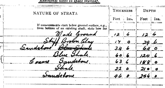 A review borehole section sheets held by the British Geological Society indicated that records of a borehole sunk on the south western boundary was available, this identified almost 4m of made ground underlain by 1.5m of clay before bedrock.
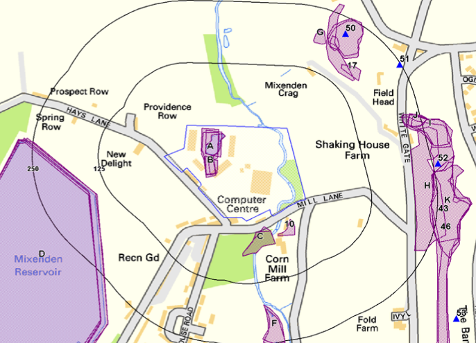 Data provided by regulatory bodies identified a number of ground workings
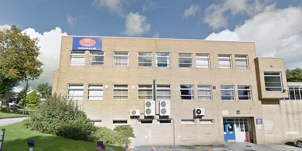
 On completion of the desk based research a site reconnaissance
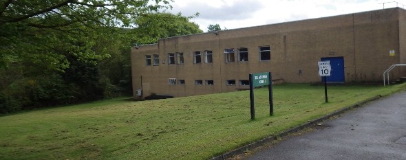
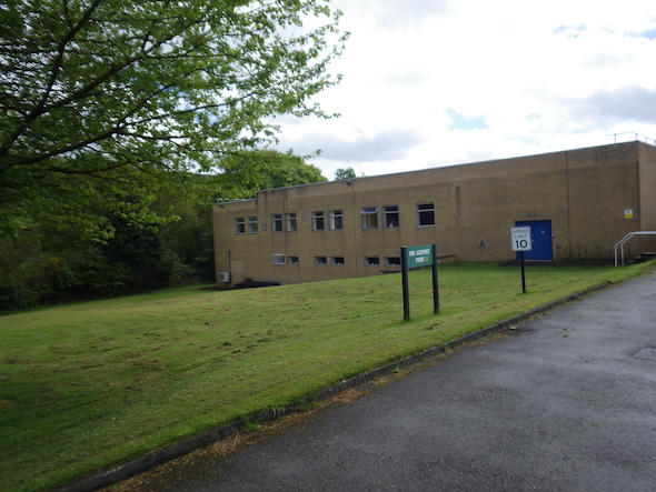
 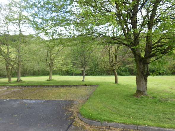 visit was undertaken, this confirmed the site was occupied by a number of office blocks with a pond in the area of the reservoir, a wooded area was present on the eastern area of the site. Hard-standing was present across the site.
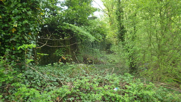 On completion of the walkover survey a qualitative risk assessment was undertaken on the potential sources of contamination identified in the desk study report in order to determine if any warranted further investigation, this concluded that the made ground on the site as well as the past uses of the site and surrounds posed a potential risk, the partly in-filled reservoir was also identified as a credible source of ground gases.
In order to obtain further data to assess these potential risks further works, including the scope of the works were proposed.

The report was submitted alongside the application, the memo from the contaminated land officer confirming the recommendations had been accepted.