
Pre Purchase Audit of a Former Joiners Workshop, Regent Street, Bury, BL9 5AT
Planning Reference:
Synopsis:
During the sale of the dwelling (former observatory) pre purchase sales indicated the site was located on a landfill which caused the sale to fall through. In order to support the same Demeter Environmental were commissioned to prepare reports to provide additional information on the risks associated with the landfill.
 The first stage of the work was to prepare a Phase I desk study
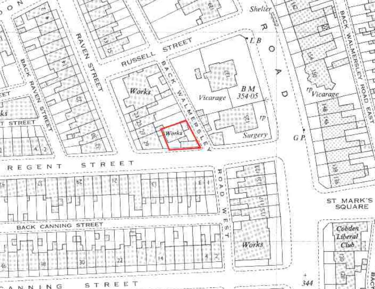 report in order to determine if the site has the potential to be impacted by elevated levels of contamination, and to determine the source as well as the likelihood of the risk occurring.
A desk study determines what issues relating to historical contamination may affect the site, this is undertaken by reviewing the site history using a combination of O.S. maps, aerial, plates and street level imagery, a review of data held by regulatory bodies (Environment Agency, local authority, BGS etc.) as well as a site walkover survey.
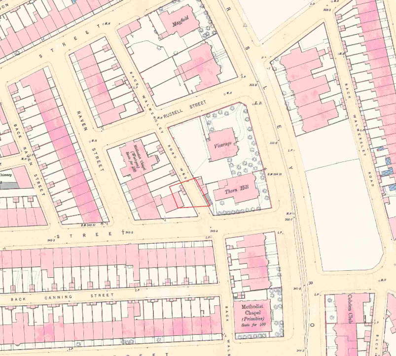
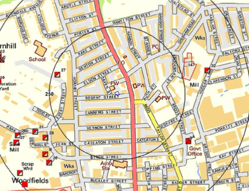
T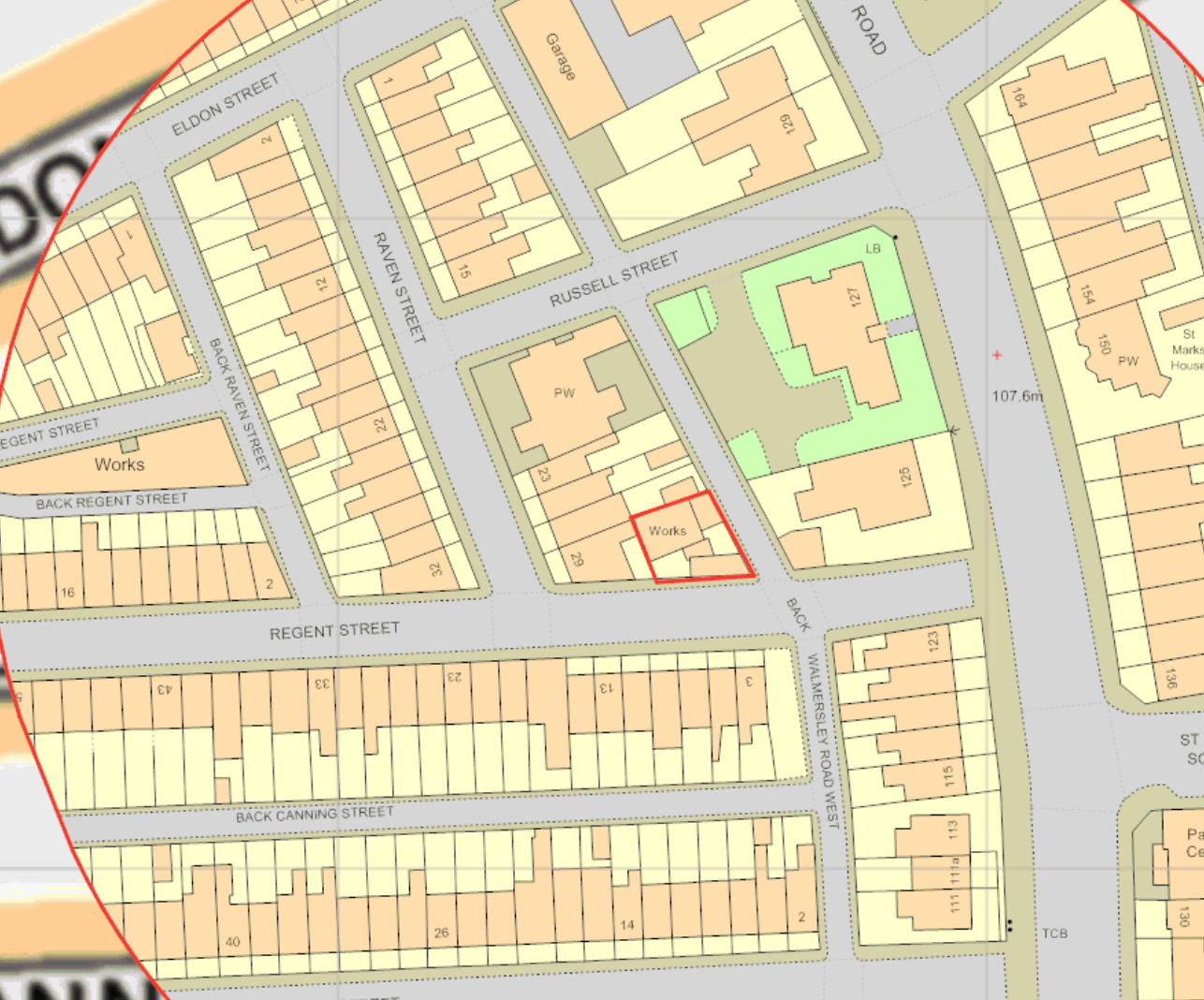 he history of the site and surrounds were researched using a combination of Ordnance Survey (O.S.) maps, street level imagery and aerial plates, this revealed the site initially (1851) the site was formed by open land, by 1890 the area had been developed and the site was occupied by a single building. By 1930 a second building is present on the southern area of the site. The site is identified as a works on the 1958 map
A number of parcels of in-filled land were noted within 250m of the site.
The planning history of the site was reviewed as part of the desk based research and reports associated with any previous application were located and studied, no previous applications were noted.
The published geological maps record the drift geology is given as Devensian Till and the solid geology is given as the Pennine Lower Coal Measures of the Langsettian (westphalian A) epoch.
Data provided by regulatory bodies identified the presence of a reservoir 190m SE of the site as well as a pond 222m east of the site. A historical landfill was also noted 245m east of the site.
 On completion of the desk based research a site reconnaissance
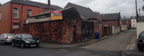
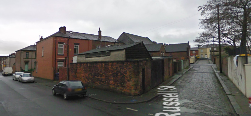
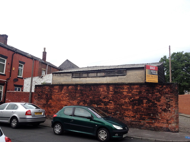
 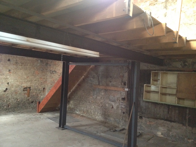 visit was undertaken, this confirmed the site comprised of two buildings, a covered yard and an open yard. Part of the larger building on the northern area northern contained a mezzanine floor.
 Once the walkover survey was completed a qualitative risk assessment was undertaken on the potential sources of contamination identified in the desk study report in order to determine if any warranted further investigation, this concluded that whilst there was the potential for made ground ot be present on the site as well as the past land uses and the potential for worked coal seams to be present under the site any potential liabilities could easily be remediated, and the site was unlikely to meet the legal definition of ‘Contaminated Land’