Erection of Dwelling, Little Downham, Ely, Cambridgeshire
Case Study Reference: CS13-05-06
Planning Authority: East Cambridgeshire District Council
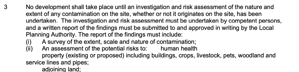
Planning Reference: 13/00029/FUL and 13/00029/DISA
Synopsis:
Given the sensitive nature of the development (residential) and the history of the site, a contaminated land planning condition was attached to the decision notice for the proposed development.
The first stage of discharging the condition was to prepare a Phase I desk study report in order to determine if the site has the potential to be impacted by elevated levels of contamination, and to determine the source as well as the likelihood of the risk occurring.
A desk study determines what issues relating to historical contamination may affect the site, this is undertaken by reviewing the site history using a combination of O.S. maps, aerial, plates and street level imagery, a review of data held by regulatory bodies (Environment Agency, local authority, BGS etc.) as well as a site walkover survey.
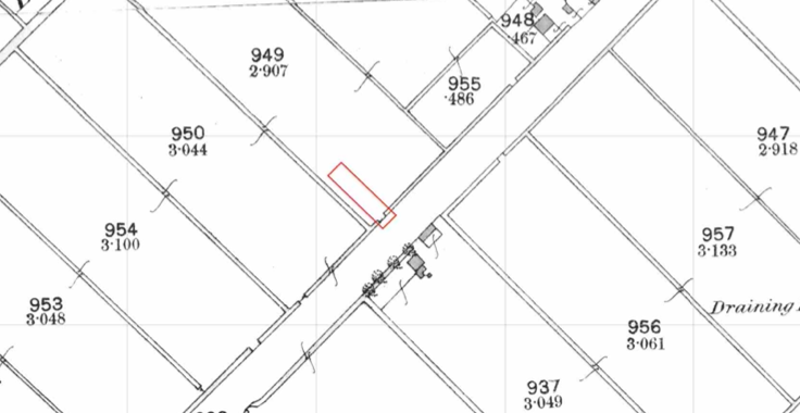 The O.S. maps revealed that t
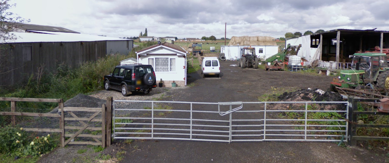
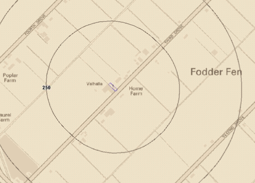
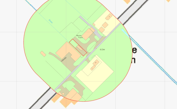 he site was developed circa 2012 when a building was identified on the site. Aerial palates confirmed this and street level imagery confirmed the building was present prior to the October 2008 image. This identified the building on site as a mobile home with a gravelled are to the front and a landscaped area to the rear.
The planning history of the site was reviewed, this revealed that a previous application was made for the erection of a dwelling and a subsequent application for the rendition of a mobile home. The associated documents were reviewed and no salient information obtained.
 The published geological maps identified the drift soils as peat (a naturally occurring source of ground gases) which was underlain by the Kimmeridge Clay Formation (mudstone).
Data provided by regulatory bodies did not reveal any further information, however the mobile home was placed on site after 2004.
 On completion of the desk based research a site reconnaissance visit was undertaken, thi
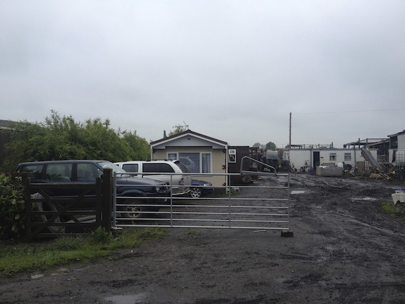
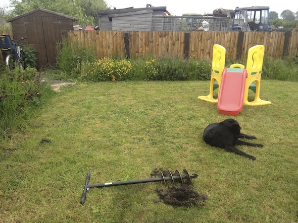 s confirmed the site was occupied by a mobile home with a rear garden and a gravelled parking area. A tank was also identified during the walkover survey, no evidence of staining/releases were noted.
As part of the survey a number of hand held trial pits were excavated, these confirmed the absence of made ground with deposits of peat underlying the site.
On completion of the walkover survey a qualitative risk assessment was undertaken on the potential sources of contamination identified in the desk study report in order to determine if any warranted further investigation, this concluded that the peat underlying the site was the only credible source of contamination.
The report proposed the incorporation of gas protection measures as an alternative to ground gas monitoring.
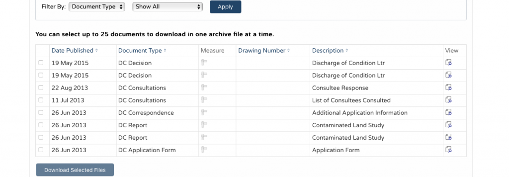
The Phase I report was submitted to partly discharge the contaminated land planning condition with 13/00029/DISA. The recommendations of the report were accepted.