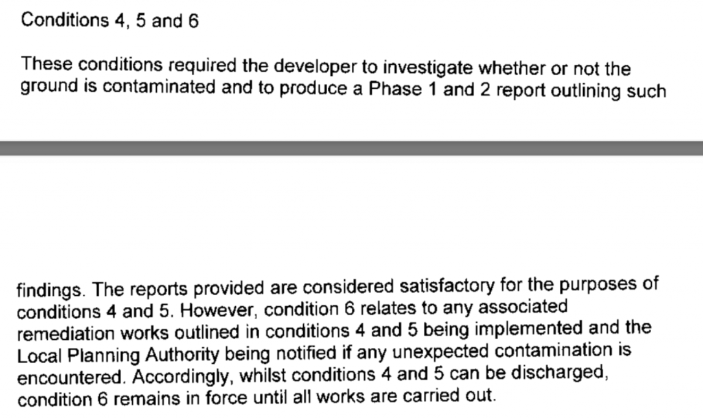
Erection of Four Dwellings, Tavistock Road, Sheffield, S7
Case Study Reference: CS13-03-02
Planning Authority: Sheffield City Council
Planning Reference: 12/03258/FUL and 13/01586/COND
Synopsis:
Given the history of the site (poultry sheds) a contaminated land planning condition was attached to the decision notice for the proposed development.
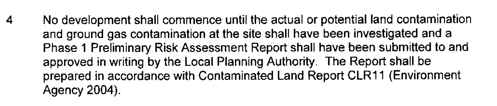
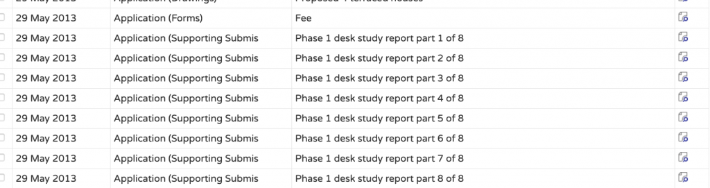
 The first stage of discharging the condition was to prepare a Phase I desk study report in order to determine if the site has the potential to be impacted by elevated levels of contamination, and to determine the source as well as the likelihood of the risk occurring.
A desk study determines what issues relating to historical 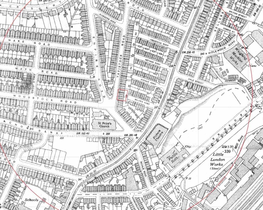 contamination may affect the site, this is undertaken by reviewing the site history using a combination of O.S. maps, aerial, plates and street level imagery, a review of data held by regulatory bodies (Environment Agency, local authority, BGS etc.) as well as a site walkover survey.
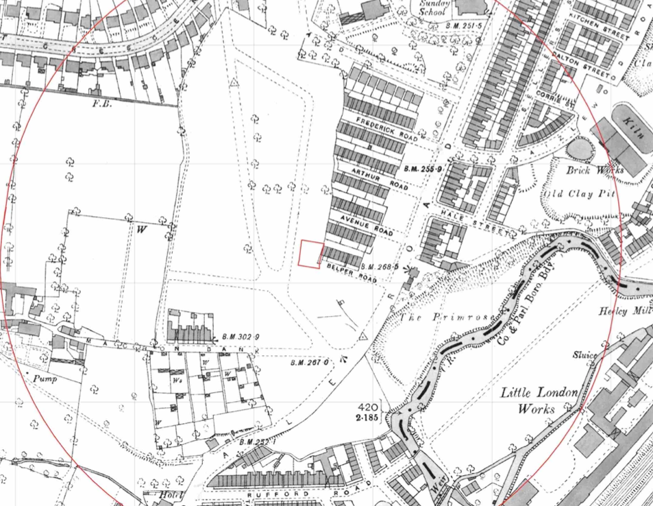
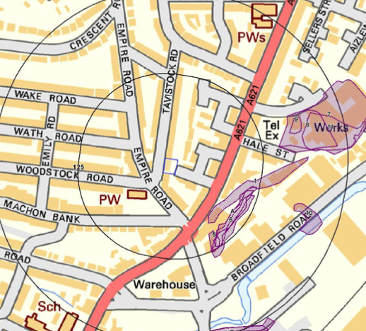
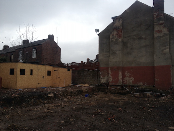
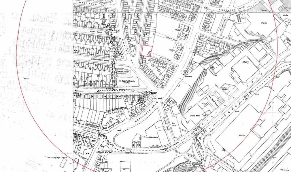 The history of the site and surrounds were researched using a combination of Ordnance Survey (O.S.) maps, street level imagery and aerial plates, this revealed the site was developed circa 1903 when five terraced dwellings were present. The dwellings were cleared between 1948 and 1950, the 1961 map identified twos mall buildings on the southern area. By 2002 the site had been redeveloped and a single building was present on the western area.

Street level imagery confirmed the building was single storey and appeared to be a commercial building.
The planning history of the site was reviewed as part of the desk based research and the reports associated with the previous application were located and studied, the application made reference to the site as being occupied by 4 garages.
 The published geological maps identified the site as being in an area where there were no drift deposits and the bedrock (Grenoside Sandstone) being exposed at the surface. . As no publicly available boreholes for the areas were available from the BGS no further information ion ground conditions could be obtained.
The site was also identified as being in an area there radon from bedrock was a potential issue.
Data provided by regulatory bodies identified a number of ground workings
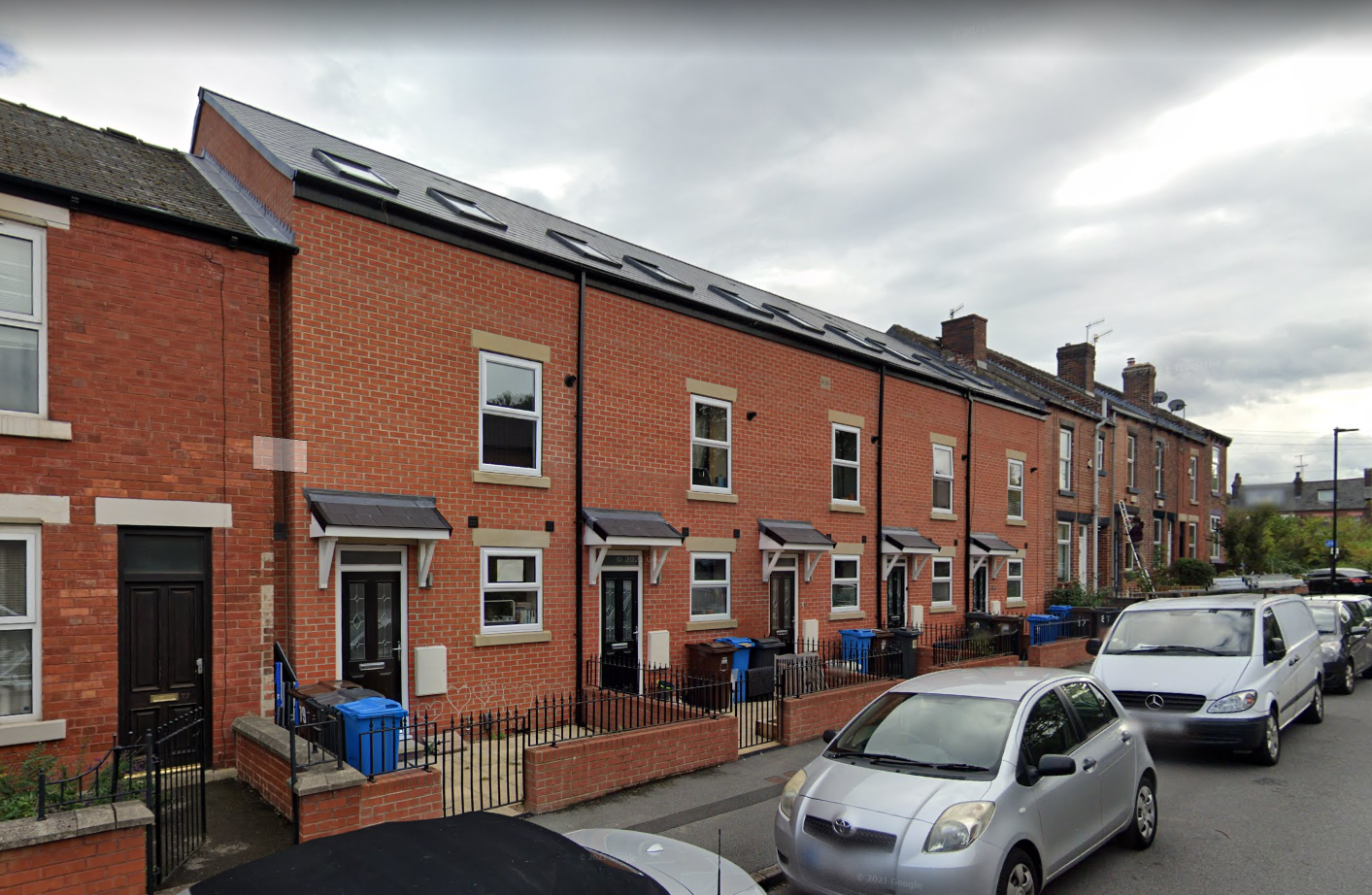
 On completion of the desk based research a site reconnaissance
 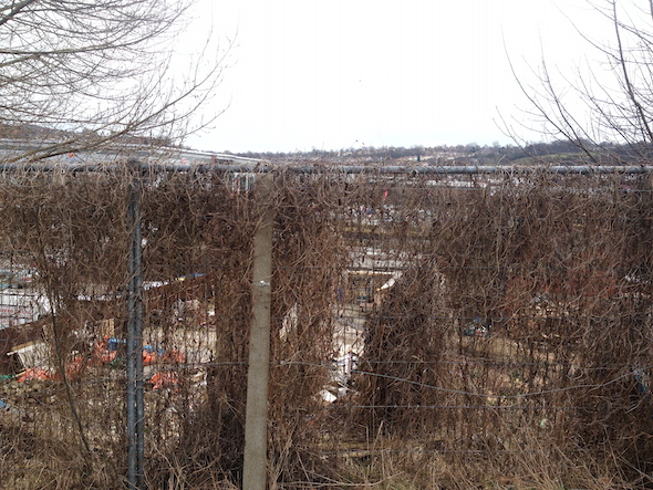 visit was undertaken, this confirmed the site had been cleared prior to the walkover.
The ground conditions were inspected as part fo the walkover survey given thew site had been cleared, occasional made ground was recorded and the bedrock was noted to be exposed across the site.
Once the walkover survey was completed a qualitative risk assessment was undertaken on the potential sources of contamination identified in the desk study report in order to determine if any warranted further investigation, this concluded that made ground on the site as well as the bedrock (radon) posed potential risks to the site. It was proposed that basic radon measures were to be incorporated into the building design and removal of made ground from the site.
The report was submitted to partly discharge the contaminated land planning condition (13/01586/COND).