Erection of Industrial Units, Tunstall, Stoke On Trent, ST6
Case Study Reference: CS12-12-08
Planning Authority: Stoke-on-Trent City Council
Planning Reference: Stoke-on-Trent City Council and 56416/FUL
Synopsis:
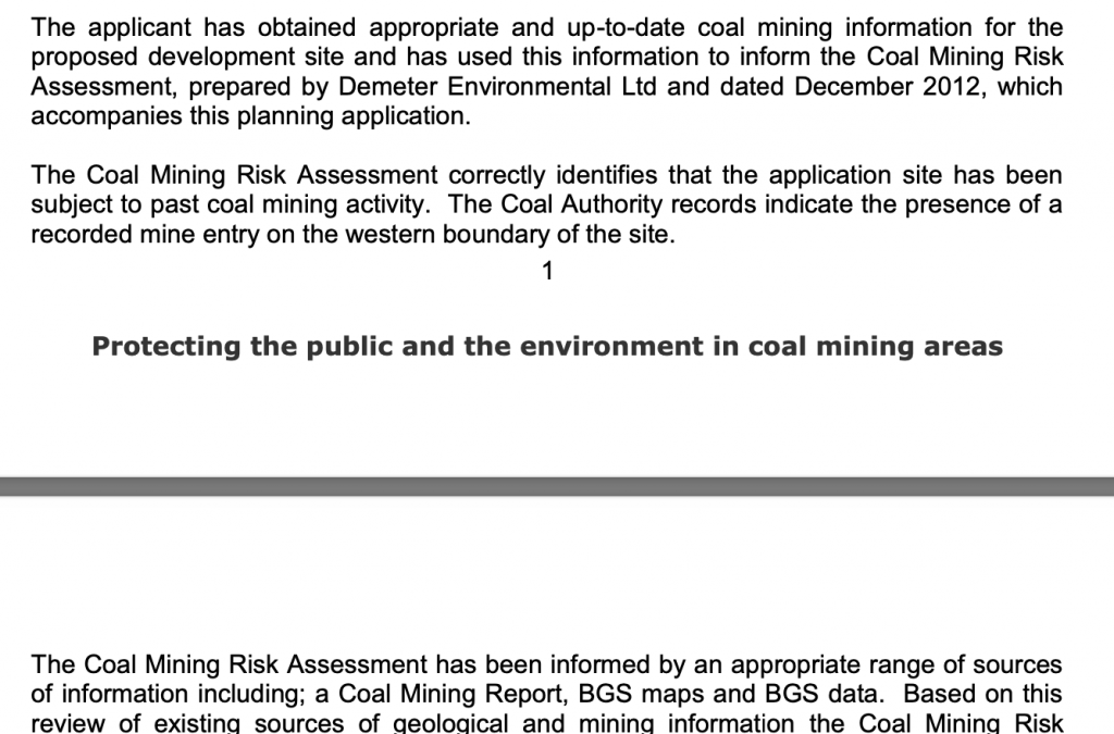
As the proposed development site was in an area where coal mining legacies may impact on ground stability a Coal Mining Risk Assessment was required to support the application for the erection of a dwelling.
As part of the assessment a Coal Authority report was procured which indicated that the site was in an area where coal may be close or at the surface, this was confirmed by the review of the large scale geological maps as well as the Coal Authority plans for the area.
 The published geology indicated that Devensian Till was underlain by the Etruia Formation (Mudstones, Sandstones and Conglomerate) of the Carboniferous Epoch.
Two boreholes were available within 50m of the site, both boreholes terminated at 4mbgl in Devensian Till.
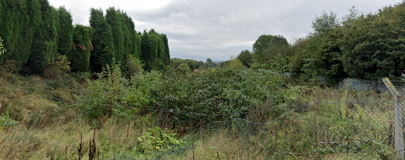
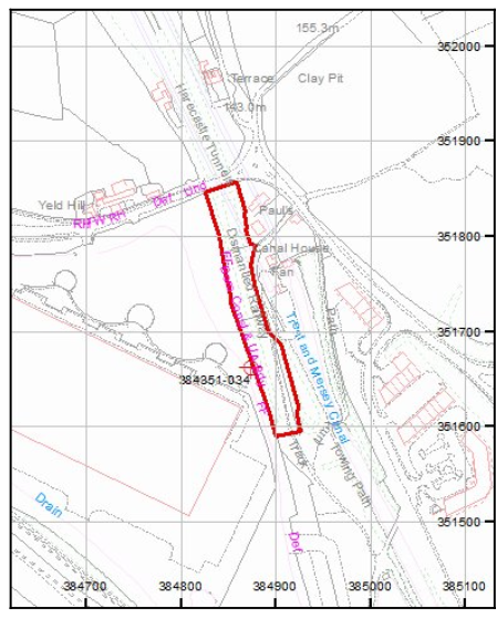
Data provided by the Coal Authority indicated that a mine shaft was present along the south western boundary of the site. In order to determine if the shaft pose a risk to the site further works were proposed which included trial trenches to determine the depth to bedrock and to determine if there was evidence of the shaft being present on the site.
The recommendations of the report were accepted by the Coal Authority, the objection to the development was removed and the application was granted with the proposed works conditioned,