Conversion of Barn at Gorefield, Cambridgeshire
Case Study Reference: 12-03-02
Planning Authority: Fenland District Council
Planning Reference: F/YR12/3050/COND Track and F/YR12/3050/COND
Synopsis:
Due it the agricultural nature of the site a contaminated land planning condition was attached to the decision notice which required that potential source s of contamination need to be investigation before the development commences.
The first stage of discharging the condition was to prepare a Phase I desk study report in order to determine if the site has the potential to be impacted by elevated levels of contamination, and to determine the source as well as the likelihood of the risk occurring.
 A desk study determines what issues relating to historical contamination may affect the site, this is undertaken by reviewing the site history using a combination of O.S. maps, aerial, plates and street level imagery, a review of data held by regulatory bodies (Environment Agency, local authority, BGS etc.) as well as a site walkover survey.
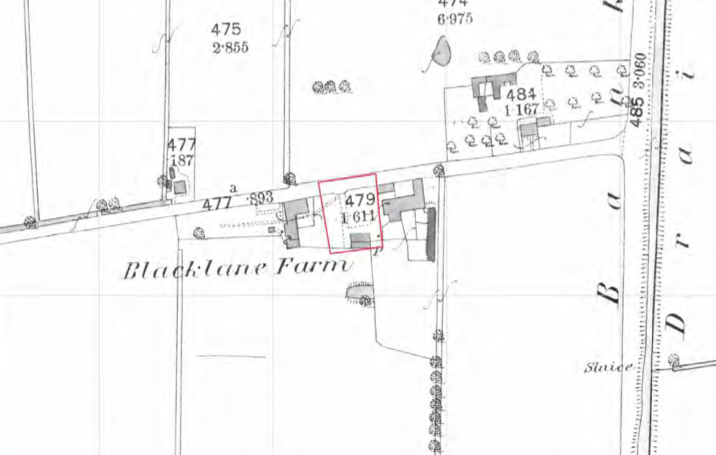
The history of the site and surrounds were researched using a combination of Ordnance 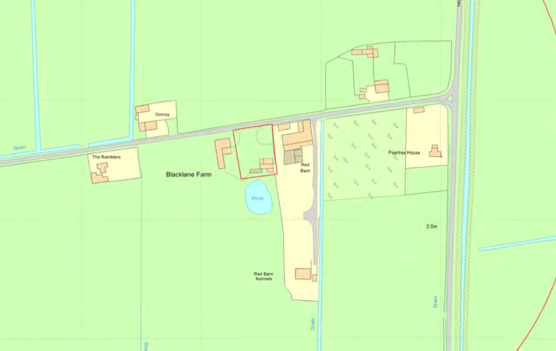 Survey (O.S.) maps, street level imagery and aerial plates, this revealed that the site was developed prior to the first edition O.S. map, evidence of further developed was noted on the 1902 and 1976 map. A number of ponds and orchards were noted in close proximity to the site.
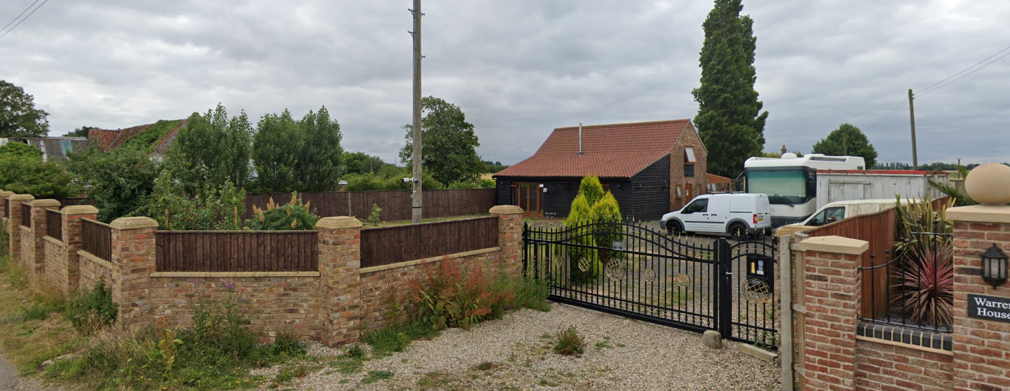
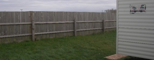
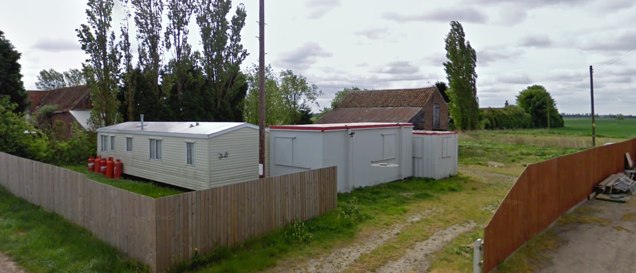
Street level imagery identified a static caravan and cabins on the site as well as a barn.
The planning history of the site was reviewed, no salient information was obtained.
The published geological maps identified the site as being underlain by Tidal Flat deposits and the Ampthill Clay Formation.
Data provided by regulatory bodies did not identify any potential sources of contamination.
On completion of the desk based research a site reconnaissance  visit was undertaken, this confirmed the presence of the buildings identified in the street level imagery. As part of the survey a hand held trial pit was excavated, no evidence of made ground was recorded.
Once the walkover survey was completed a qualitative risk assessment was undertaken on the potential sources of contamination identified in the desk study report in order to determine if any warranted further investigation, this concluded that there were no credible sources of contamination on the site and no further works were proposed.

The report was submitted (F/YR12/3050/COND) to discharge the condition, the decision notice confirming the report was accepted and the condition discharged.