
Residential Redevelopment of a Coal Depot, Lane End, Corsley, Warminster
Planning Authority: Wiltshire Council
Planning Reference: 13/07129/OUT and 16/04198/VAR
Synopsis:
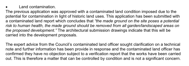
Given the history of the site and the potential for elevated levels of contamination in the site soils a contaminated land planning condition was attached to the decision notice for the residential redevelopment of the site.
The first stage of discharging the contaminated land planning condition was to undertake a Phase I Desk Study report.
A desk study determines what issues relating to historical contamination may affect the site, this is undertaken by reviewing the site history using a combination of O.S. maps, aerial, plates and street level imagery, a review of data held by regulatory bodies (Environment Agency, local authority, BGS etc.) as well as a site walkover survey.
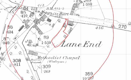 The historical review revealed that the site was developed prior to
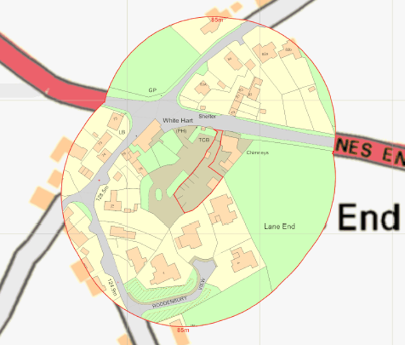 the 1904 map but is unclear when the site was used as a coal depot.
Geological maps revealed that drift deposits were not present in the area and the bedrock was the Shaftesbury Sandstone Member (a principal aquifer)
Data provided by both Groundsure and the Environment Agency identified chimneys in close proximity to the site.

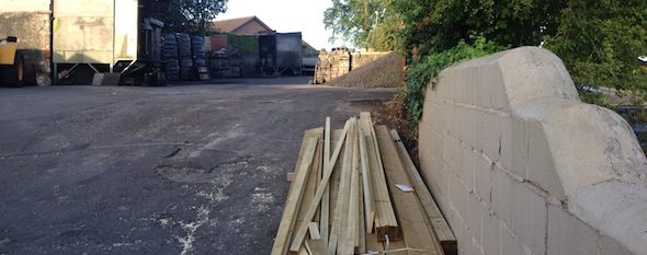
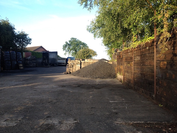 On completion of the desk based review a site reconnaissance visit was undertaken, which revealed the site was an active coal depot. and that the entirety of the site was covered by concrete hard-standing.
A qualitative risk assessment was undertaken on the potential source of contamination identified in the desk study report, this concluded that given the most current use of the site and the potential for made ground and coal dust, a Phase II site investigation was proposed to fully investigate the potential issues.
The Phase II intrusive investigation was undertaken in July 2014, which comprised of the 
 sinking of four dynamic sampling boreholes (used to minimise disturbance to the site across the site to determine the depth of the made ground and to obtain samples for chemical analysis.
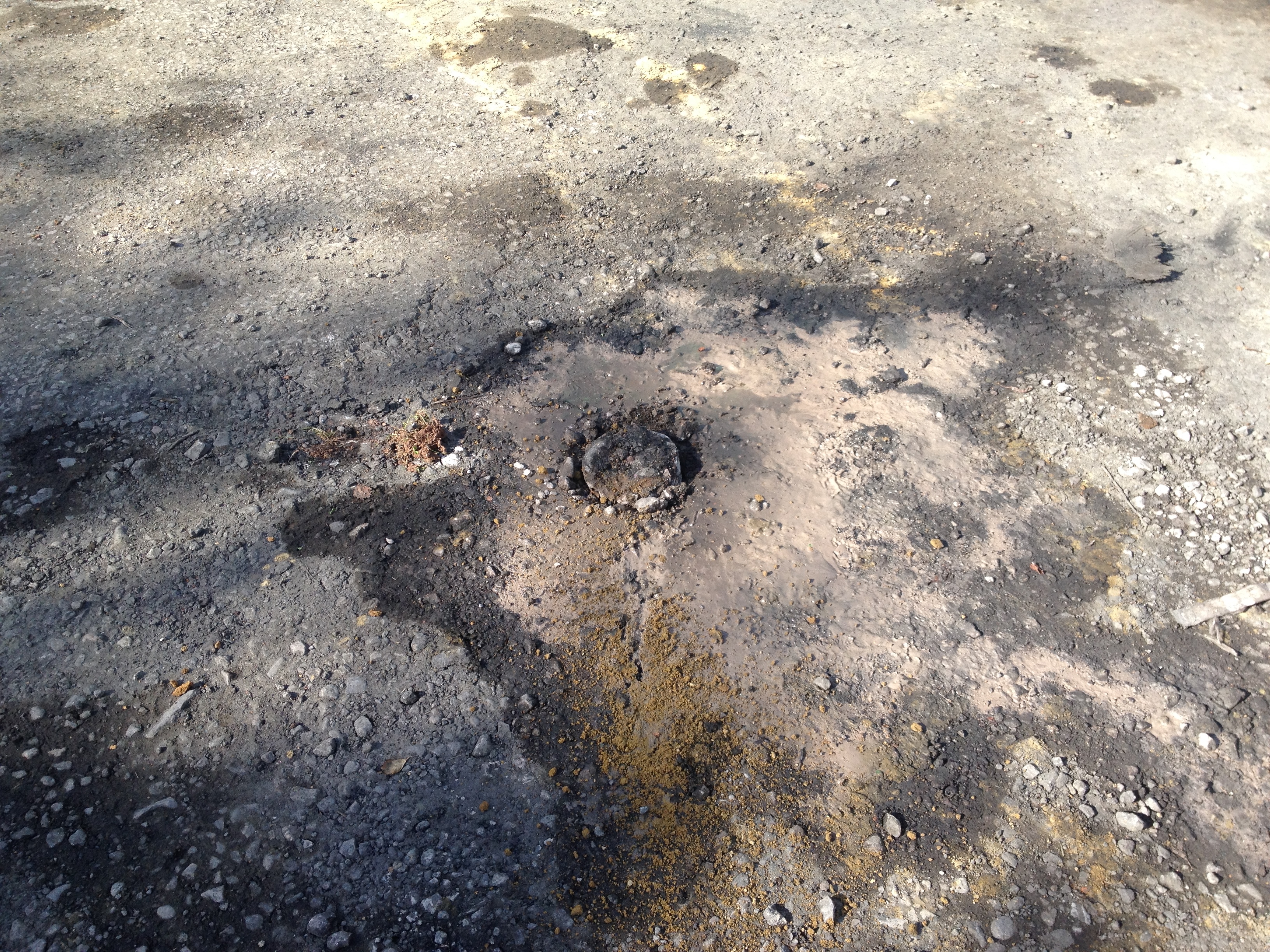
 The sequence comprised of asphalt underlain by up to 600mm of made ground, which in turn was underlain by deposits of sand and clay.
Chemical analysis of the made ground identified elevated concentrations of lead, which remediation (removal of made ground from garden and landscaped areas) was proposed. Chemical analysis also confirmed the site soils were not impacted by coal dust.
Once the recommendations of the Phase II report were accepted and prior to the 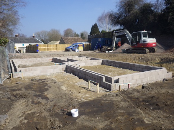 commencement of the development, a Phase IIIa Implementation Plan was required to ensure all parties were aware of how the remediation would be undertaken, the plan provided details of how the remediation would be undertaken and how the remediation would be validated.
The remediation of the site was monitored over the 18 month development and on completion of the validation of the front plots, the completion report demonstrating the remediation had been undertaken and the site was suitable for use was issued.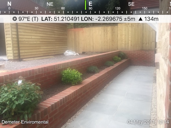
The completion report was submitted under 16/04198/VAR and the memo discharging the contaminated land planning condition can be viewed here.